Skip to main content
Collections
People
Favorites
Advanced Search
Unknown
Close
Refine Results
Classification(s)
Graphics
(66)
Equipment
(1)
Collections
*
Maps and Charts: Finding Your Place in Connecticut History
(67)
Date
to
Department
Visual Collections
(67)
Image Available
On View
Sort:
Title (A–Z)
Title (Z–A)
Date (Older First)
Object number (Ascending)
Last Updated (Ascending)
List
Images
Table
Filters
View PDF
67 results
Maps and Charts: Finding Your Place in Connecticut History
Clear All Filters
Birds eye view of the Garrison &c of Ticonderoga (by the Indian name Tigrondergua the meeting of the waters)
Unknown
about 1860
Cedar Hill Cemetery
Unknown
about 1866
Chart of the Connecticut River from Hartford to Wethersfield
Unknown
1867
City of Bridgeport, Connecticut. Showing Altitudes and Sewers.
Unknown
1878
Connecticut
Unknown
1869-1871
Connecticut
Unknown
1795
Connecticut
Unknown
1819
Image Not Available
for Connecticut
Connecticut
Unknown
Probably 1807
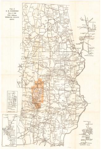
Copy of E. M. Woodford map of 1856 with Additions
Unknown
1928
Granger Mills on the Connecticut River
Unknown
1794
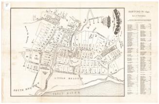
Hartford in 1640
William S. Porter
after 1851
Hartford of 1640
Claude L. Yates
1928
High Ridge
Unknown
1965
Image Not Available
for Jewett City Plan of Village
Jewett City Plan of Village
Unknown
before 1893
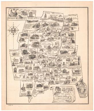
The League of Women Voters Map of the County of Hartford Connecticut
S. Jerome Hoxie
1934
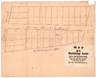
Map of 28 Building Lots in the City of Hartford
Unknown
1836
Map of Bridgeport
Unknown
1872
Map of Hartford--1788
Unknown
1921
Map of Keney Park Showing Roads and Paths
Unknown
1911
Map of Lyme and Vicinity
Unknown
before 1942
Map of Lyme and Vicinity
Unknown
Probably 1942
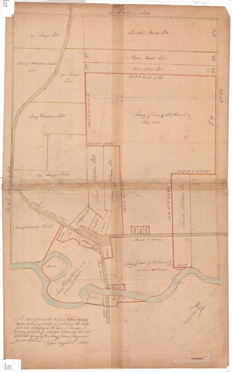
A Map of part of lot No. 92 in Oxford formerly Fayette
Unknown
1804
Map of the City of Waterbury
Arthur J. Patton
about 1932
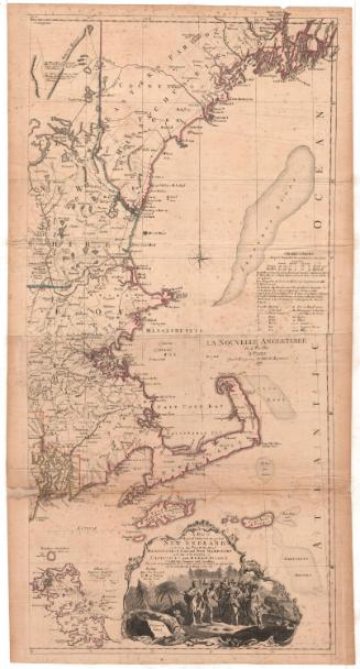
Map of the Most Inhabited Part of New England
Unknown
1777
Next Page