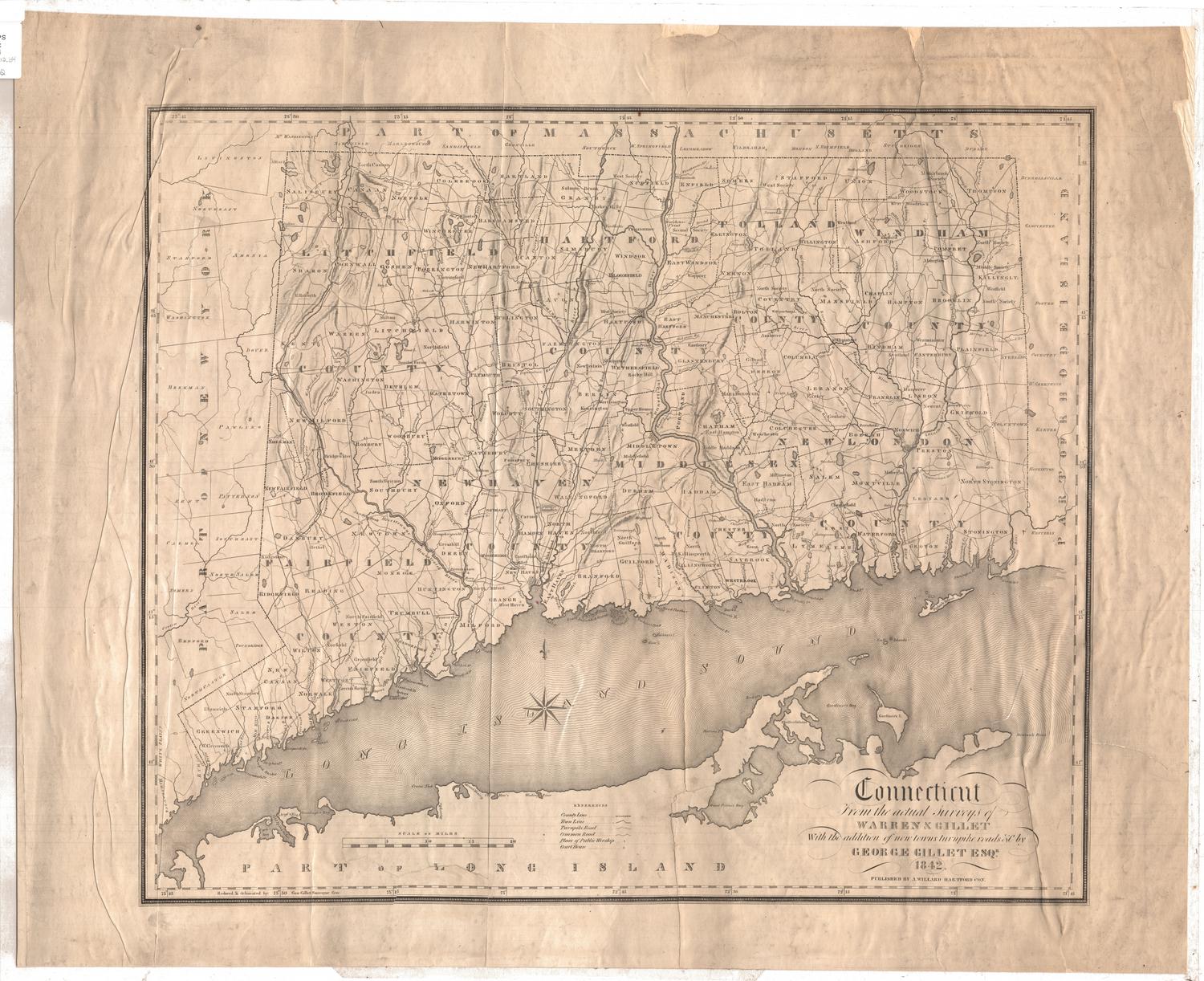
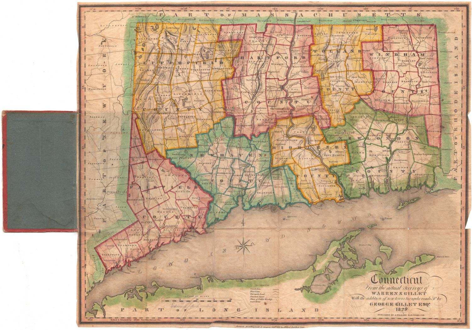
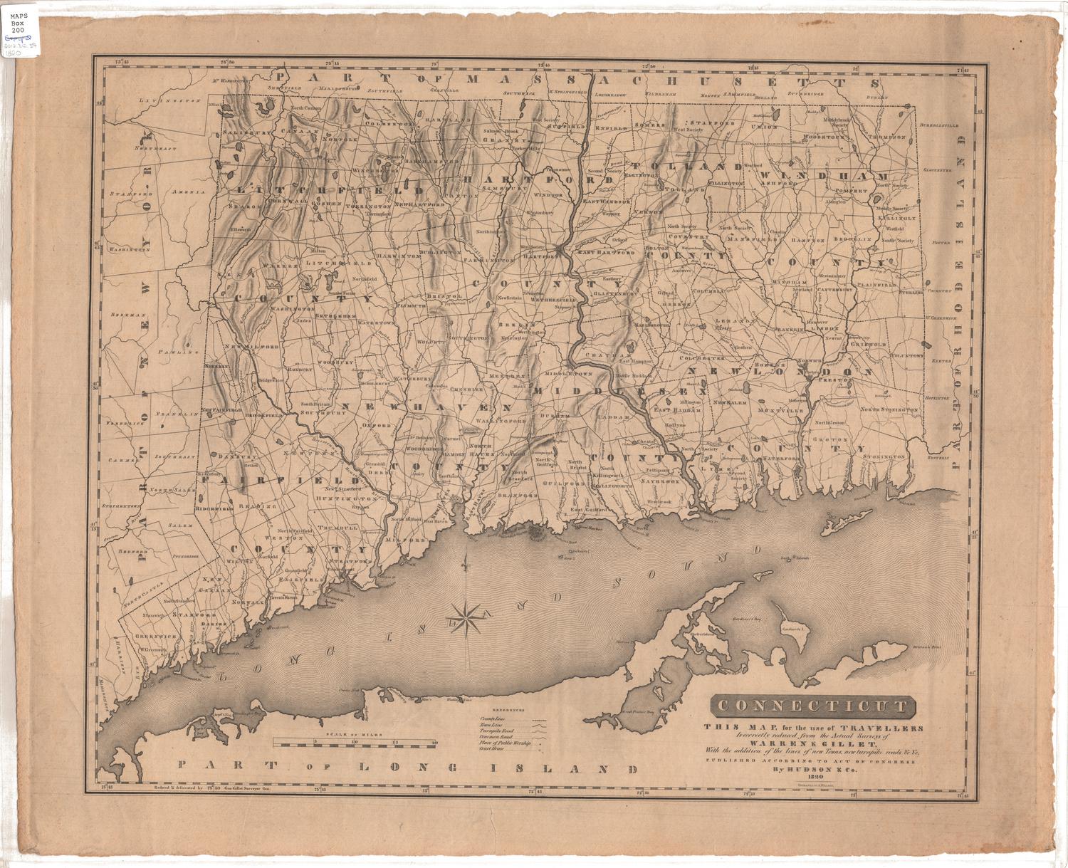
Connecticut, From Actual Survey
SurveyorSurveyed by
Moses Warren Jr.
(1762 - 1835)
SurveyorSurveyed by
George Gillet
(American, 1771 - 1853)
PrintmakerEngraved by
Abner Reed
(American, 1771 - 1866)
PublisherPublished by
Hudson & Goodwin
(American, founded 1787)
Date1813
MediumEngraving; black printer's ink and watercolor on paper, lined with paper
DimensionsPrimary Dimensions (image height x width): 36 1/8 x 43 1/8in. (91.8 x 109.5cm)
Sheet (height x width): 36 1/2 x 43 1/2in. (92.7 x 110.5cm)
Mount (height x width): 36 1/2 x 43 1/2in. (92.7 x 110.5cm)
Sheet (height x width): 36 1/2 x 43 1/2in. (92.7 x 110.5cm)
Mount (height x width): 36 1/2 x 43 1/2in. (92.7 x 110.5cm)
ClassificationsGraphics
Credit LineConnecticut Museum of Culture and History collection
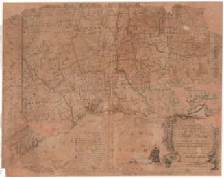
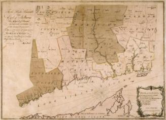
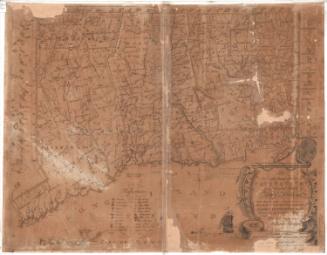
DescriptionMap of the state of Connecticut, with part of Massachusetts to the north, part of Rhode Island to the east, part of Long Island and the Long Island Sound to the south, and part of New York State to the west. Counties are outlined in broken solid and dotted lines and towns in solid lines. Elevation is depicted with hachure marks. Churches, courthouses, academies, town houses, factories and mills of various kinds, distilleries, glass works, furnaces, iron works, buoys, spindles and lighthouses are represented with symbols which are listed in the Explanation. Natural features shown include rocks off the coast, shoals, mountains and ore beds. Below the Explanation, located on the left side of the sheet, is a list of Connecticut governors from 1665-1813.
Object number2012.312.206
NotesCartographic Note: Scale: About 3/8 inches equals 1 mileOn View
Not on view

Joel Knott Allen
1791 or 1792
