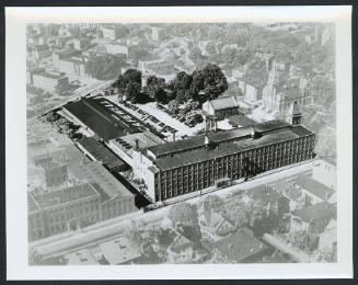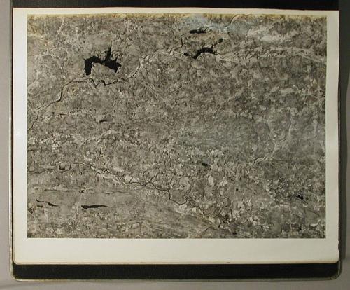
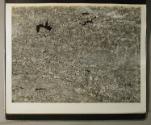
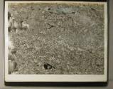
Aerial Survey Photographs
PhotographerPhotographed by
Fairchild Aerial Surveys, Inc.
(American)
Date1934
MediumPhotography; gelatin silver prints on paper
Album: Cardboard, metal and masonite, with cloth tape.
DimensionsPrimary Dimensions (image height x width): 15 3/4 x 12in. (40 x 30.5cm)
Sheet (height x width): 16 7/8 x 14in. (42.9 x 35.6cm)
Other (album height x width x depth): 17 1/2 x 17 1/8 x 3in. (44.5 x 43.5 x 7.6cm)
Sheet (height x width): 16 7/8 x 14in. (42.9 x 35.6cm)
Other (album height x width x depth): 17 1/2 x 17 1/8 x 3in. (44.5 x 43.5 x 7.6cm)
ClassificationsGraphics
Credit LineThe Newman S. Hungerford Museum Fund
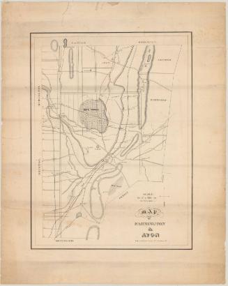
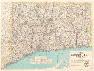
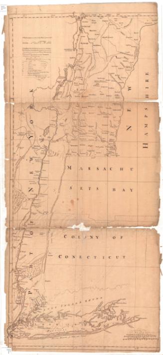
DescriptionAerial mosaic views of areas in Connecticut, and in Massachusetts and New York along the Connecticut border. Features include populated areas, roads, rivers, lakes, farms, dwellings, commercial buildings, geological landscapes, and the shoreline of Long Island Sound.
Object number2005.150.0.1-.36
NotesAlthough photographed from a high altitude, the images are very clear; they include great detail which can be seen with a magnifying glass.On View
Not on view

Smith-Worthington Saddlery Company