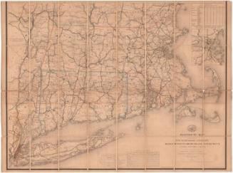
A Map of the New England States: Maine, New Hampshire, Vermont, Massachusetts, Rhode Island and Connecticut
PrintmakerEngraved by
John Peter Van Ness Throop
(American, 1794 - 1860)
PublisherPublished by
Nathan Hale
(American, 1784 - 1863)
Date1826
MediumEngraving; black printer's ink on wove paper, lined with linen, with paper covers, in paper-covered cardboard box
DimensionsPrimary Dimensions (image height x width): 44 5/8 x 38 5/8in. (113.3 x 98.1cm)
Sheet (height x width): 45 1/2 x 39 5/8in. (115.6 x 100.6cm)
Mount (height x width): 46 x 40in. (116.8 x 101.6cm)
Sheet (height x width): 45 1/2 x 39 5/8in. (115.6 x 100.6cm)
Mount (height x width): 46 x 40in. (116.8 x 101.6cm)
ClassificationsGraphics
Credit LineMuseum purchase
DescriptionFolding map of the New England states, the eastern portion of New York, and Lower Canada. The states are divided into counties and towns, both of which are labeled. Roads, turnpike roads, churches, towns and villages are shown. On the right side is an inset map of northeastern Maine. Physical features depicted include elevation, conveyed with hachure marks; rivers; lakes; and islands.
Object number2007.86.0
NotesCartographic Note: Scale: 1 inch equals 8 milesOn View
Not on view


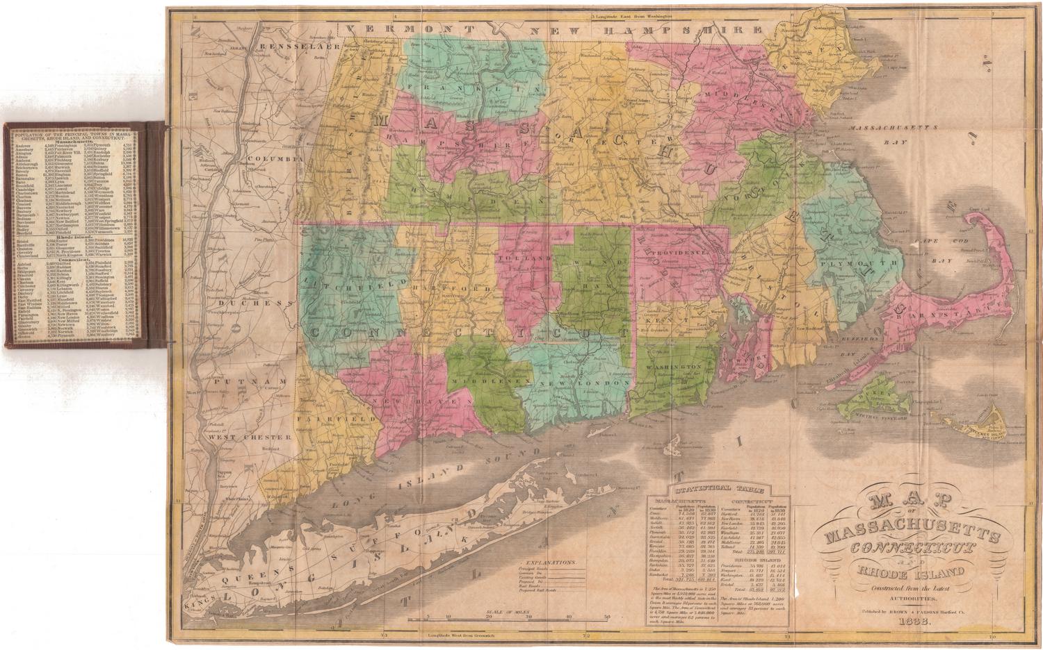


H. F. Sumner & Co.
1833