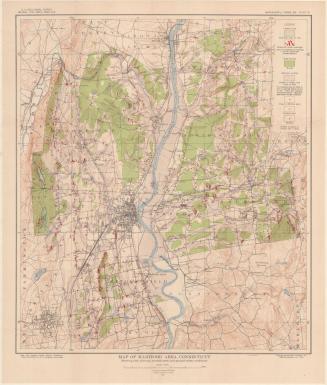
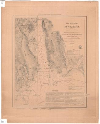
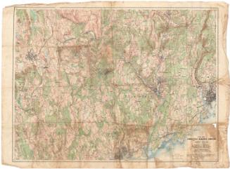
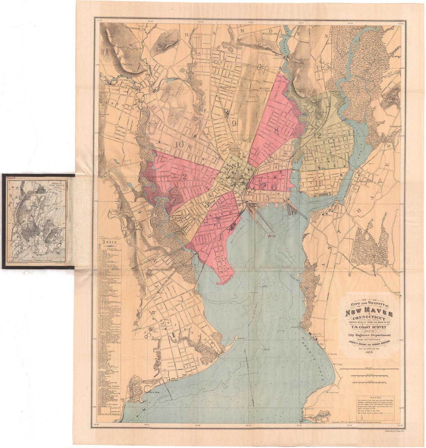
New London County, Connecticut
SurveyorSurveyed by
United States Geological Survey
(American, founded 1879)
MakerEdited by
United States Geological Survey
(American, founded 1879)
PublisherPublished by
United States Geological Survey
(American, founded 1879)
MakerMade by
Connecticut Department of Environmental Protection
(American, founded 1971)
Date1979
MediumLithography; black and colored printer's inks on wove paper
DimensionsPrimary Dimensions (image height x width): 39 3/8 x 45 5/8in. (100 x 115.9cm)
Sheet (height x width): 45 3/4 x 48 5/8in. (116.2 x 123.5cm)
ClassificationsGraphics
Credit LineMuseum purchase
Object number1994.251.3
DescriptionTopographical map of New London County, Connecticut, showing elevation, wooded and urban areas, highways, local roads, swamps, parks, and water. The Thames River, part of the Connecticut River, ponds and lakes are colored blue. Shaded and open black squares are used to denote buildings.
Label TextIn 1979, geological survey maps were still primarily based on surveys conducted by human surveyors on the ground, measuring and plotting distances between bench marks. This 1979 map of New London County incorporates information from aerial surveys, but only with the disclaimer that it has not been checked for accuracy. Such maps were the most accurate available in the 1970s, and they include a great deal of highly accurate information about the nature of the terrain. The introduction and spread of geographic information systems (GIS) had totallly transformed mapmaking by the end of the twentieth century, rendering old fashioned surveying methods virtually obsolete.
NotesCartographic Note: Scale: 1:50,000Status
Not on view