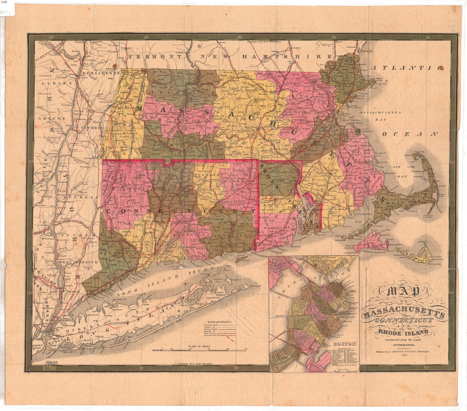
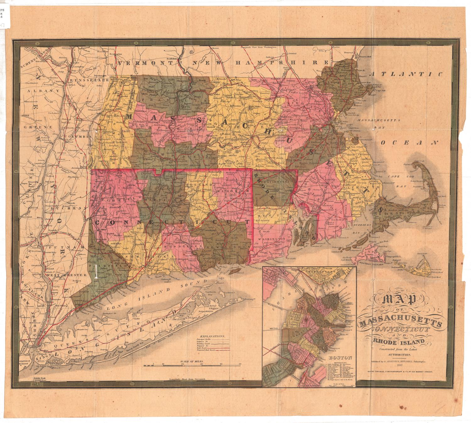
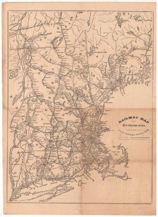
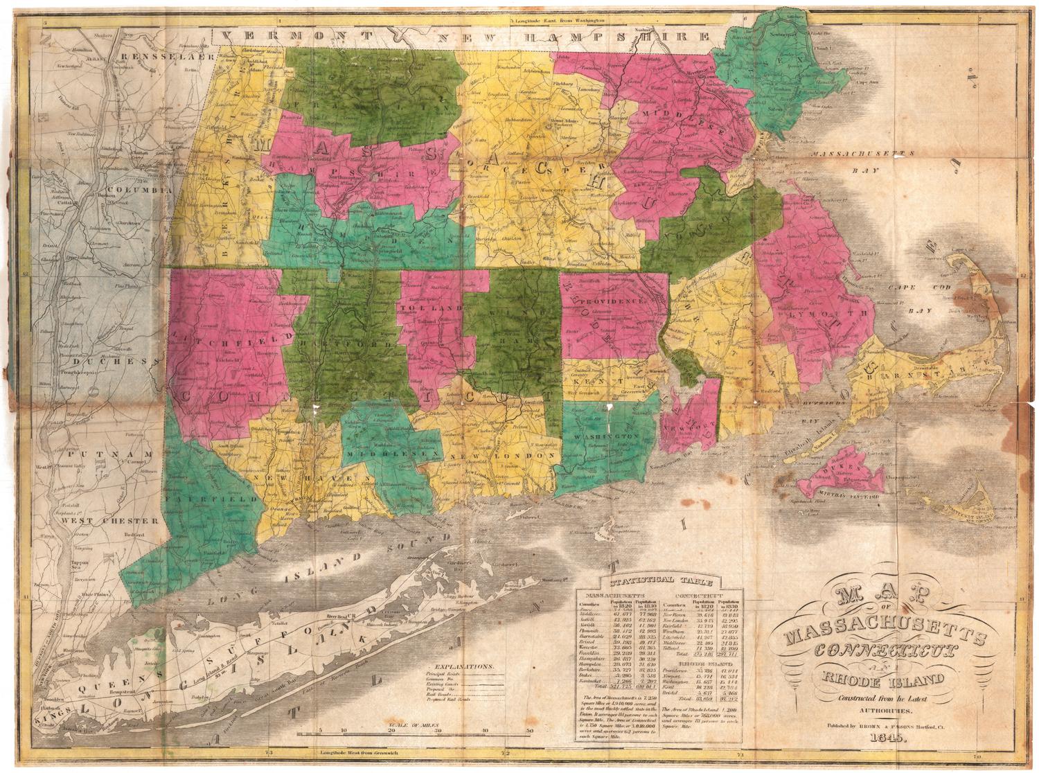
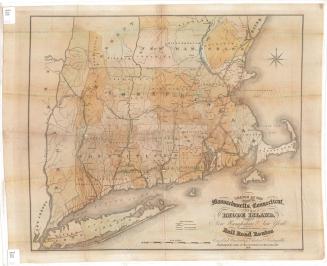
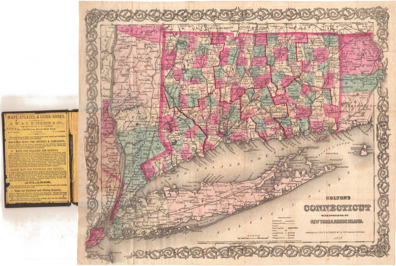
Railroad map of Massachusetts, Connecticut and Rhode Island
PrinterPrinted by
J. T. Powers & Co.
(American, 1852 - 1860)
Date1852-1860
MediumLithography; black printer's ink and watercolor on wove paper
DimensionsPrimary Dimensions (image height x width): 6 7/8 x 9 7/8in. (17.5 x 25.1cm)
Sheet (height x width): 9 5/8 x 12 1/8in. (24.4 x 30.8cm)
ClassificationsGraphics
Credit LineGift of Ada M. Stearns
Object number1928.11.1
DescriptionMap of part of Massachusetts, part of Connecticut and Rhode Island, depicting the railroads in the area. The New Haven and New London; Naugatuck; Canal; New Haven and Springfield (colored brown); Hartford, Providence and Fishkill; Norwich and Worcester; Western (colored brown); Boston and Worcester (colored brown); and Providence and Stonington Railroads. The New York and Boston Railroad (also known as the Air Line) is marked with a crosshatched line (and colored red), while the other railroads are marked with solid lines for completed railroads or dotted lines for proposed railroads. Below the map is an explanation of the routes between New Haven and Boston.
Label TextThe notion of a direct rail route from New Haven to Boston "as the crow flies" was tremendously appealing to investors in New York, New Haven, and Middletown, but not to those in Hartford, since that city be bypassed by the so-called "air-line" route. This map compares distances on the proposed New York and Boston Railroad, which closely follows the air line, and other existing routes, and the accompanying text argues that fares on the new route will be signficantly lower because the distance is so much shorter. A note in the margin, "Please return this to E. Stearns," suggests that the map belonged to Edwin Stearns, an early promoter from Middletown. Although the route looks good on paper, the map fails to account for the difficult terrain. First planning and then construction dragged on for years. Finally completed in 1873, the route was never a great financial success.
NotesCartographic Note: No scaleDate Note: The map is dated on the basis of the dates of activity of the lithographer who printed it. The airline route was proposed as early as the 1840s and construction had not yet begun in 1860.
Status
Not on view