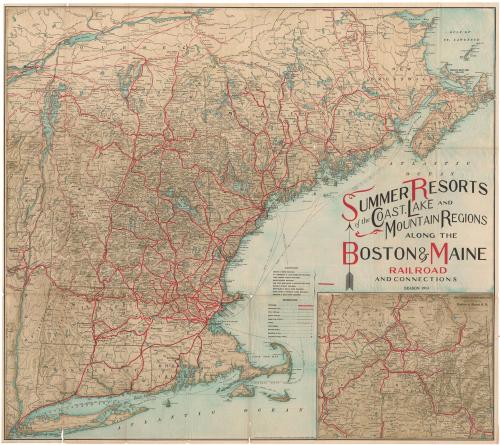
Summer Resorts of the Coast, Lake and Mountain Regions along the Boston & Maine Railroad and Connections
PublisherPublished by
Matthews-Northrup Company
(American)
Date1913
MediumOffset lithography; black and colored printer's inks on wove paper
DimensionsPrimary Dimensions (image height x width): 25 1/2 x 28 3/8in. (64.8 x 72.1cm)
Sheet (height x width): 25 7/8 x 29in. (65.7 x 73.7cm)
Sheet (height x width): 25 7/8 x 29in. (65.7 x 73.7cm)
ClassificationsGraphics
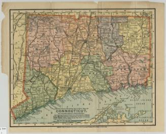
Credit LineConnecticut Museum of Culture and History collection
DescriptionMap of the New England states, part of Quebec, New Brunswick, Nova Scotia and part of New York. The Boston and Maine; St. Johnsbury and Lake Champlain; York Harbor and Beach; Maine Central; New York, New Haven and Hartford; Boston and Albany; Montpelier and Wells River; Sandy River and Rangeley Lakes; and Bridgton and Saco River Railroads are all shown in red, with stations depicted as open circles. Connecting lines are shown in thinner red lines, and other railroads in black. An inset map in the bottom right corner shows the "American Switzerland" region, which encompasses parts of Vermont and New Hampshire. Physical features depicted include elevation, conveyed with shading; rivers; lakes; and islands.
Object number2004.151.0
NotesCartographic Note: Scale, inset map: 1 3/4 inches equals 10 milesOn View
Not on view