Guide Book: Hartford, Connecticut to Burlington, Vermont
DraftsmanDrawn by
H. P. C.
Dateearly 20th century
MediumDrawing; black and red ink on wove paper, in cardboard and leather covers
DimensionsPrimary Dimensions (image height x width): 72 5/8 x 3 7/8in. (184.5 x 9.8cm)
Sheet (height x width): 73 3/4 x 3 7/8in. (187.3 x 9.8cm)
ClassificationsGraphics
Credit LineConnecticut Museum of Culture and History collection
Object number2004.150.0
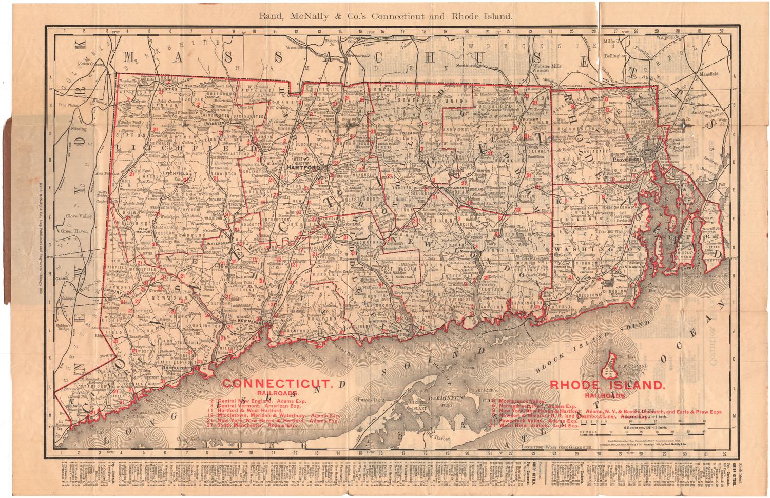
DescriptionManuscript map depicting the route from Hartford, Connecticut, to Newbury, Vermont, along the Connecticut River. Towns along the way are labeled and generally depicted with a few local roads and an unnamed railroad, probably the Connecticut Valley Railroad. Elevation is conveyed with hachure marks.
Label TextThis manuscript map depicts the route from Hartford, Connecticut to Burlington, Vermont. It is interesting to speculate what prompted someone to draw it. The route was evidently either one that the draftsman knew well or one that was especially meaningful to him or her. While the map shows both roads and railroads, the railroads are especially prominent, suggesting that whoever drew the map probably traveled by train. The mountains lining the route are also prominent and carefully identified. Did the draftsman simply enjoy watching the landscape unfold outside the train window--or is it possible that he or she also explored some of the terrain on foot? Unless it someday is possible to identify the map's maker, it is unlikely that the answers to any of these questions will ever be known.
NotesCartographic Note: No scaleStatus
Not on view