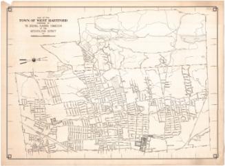
West Hartford, Connecticut, Town Map
PublisherPublished by
West Hartford Chamber of Commerce
(American, founded 1913)
After a work byAfter a work by
Metropolitan District Commission
(American, founded 1929)
DistributorDistributed by
Society for Savings
(American, founded 1819)
Date1976
MediumOffset lithography; black and blue printer's ink on wove paper
DimensionsPrimary Dimensions (image height x width): 17 5/8 x 13 3/8in. (44.8 x 34cm)
Sheet (height x width): 19 1/8 x 25in. (48.6 x 63.5cm)
Sheet (height x width): 19 1/8 x 25in. (48.6 x 63.5cm)
ClassificationsGraphics
Credit LineGift of the estate of Grace Knox
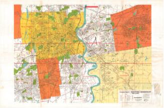
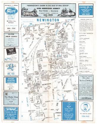
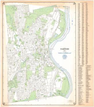
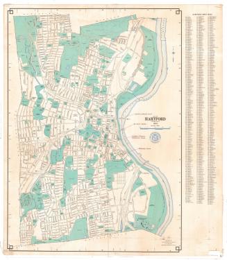
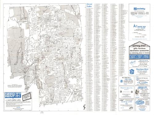
DescriptionFolding map of the town of West Hartford, Connecticut, with the town lines of Bloomfield to the north, Hartford to the east, Newington to the south, and Farmington and Avon to the west. Local roads and highways are shown and labeled. Schools, parks, country clubscolleges and schools are represented with shaded gray areas and are also labeled. Physical features depicted include reservoirs and the Park River. To the right is a street index. Advertisements for local businesses appear on both sides of the sheet. On the back are a history of West Hartford, a map of the greater Hartford area, and a map of the Park Road area of West Hartford.
Object number1999.165.1
NotesCartographic Note: No scaleOn View
Not on view