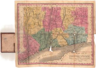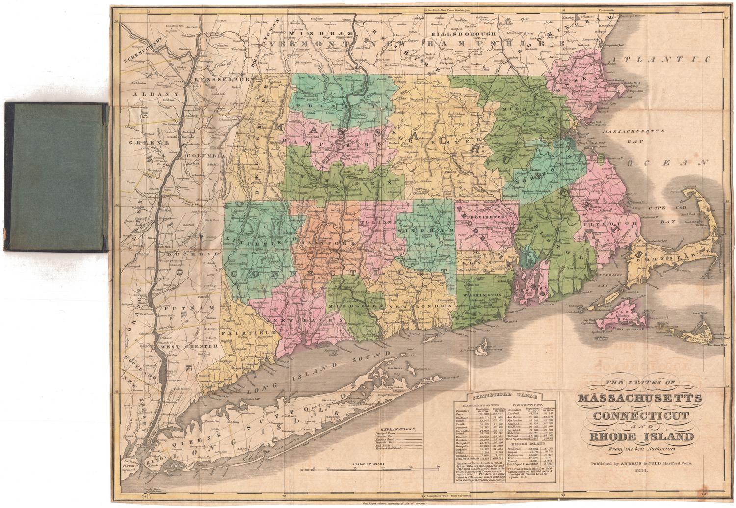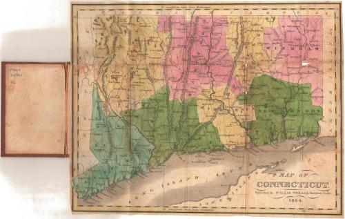
Map of Connecticut
PublisherPublished by
Willis Thrall
(American, 1800 - 1884)
Date1834
MediumEngraving; black printer's ink and watercolor on wove paper, in cardboard covers
DimensionsPrimary Dimensions (image height x width): 8 3/8 x 10 5/8in. (21.3 x 27cm)
Sheet (height x width): 8 1/2 x 10 3/4in. (21.6 x 27.3cm)
ClassificationsGraphics
Credit LineGift of Steve Grant
Object number1998.150.0
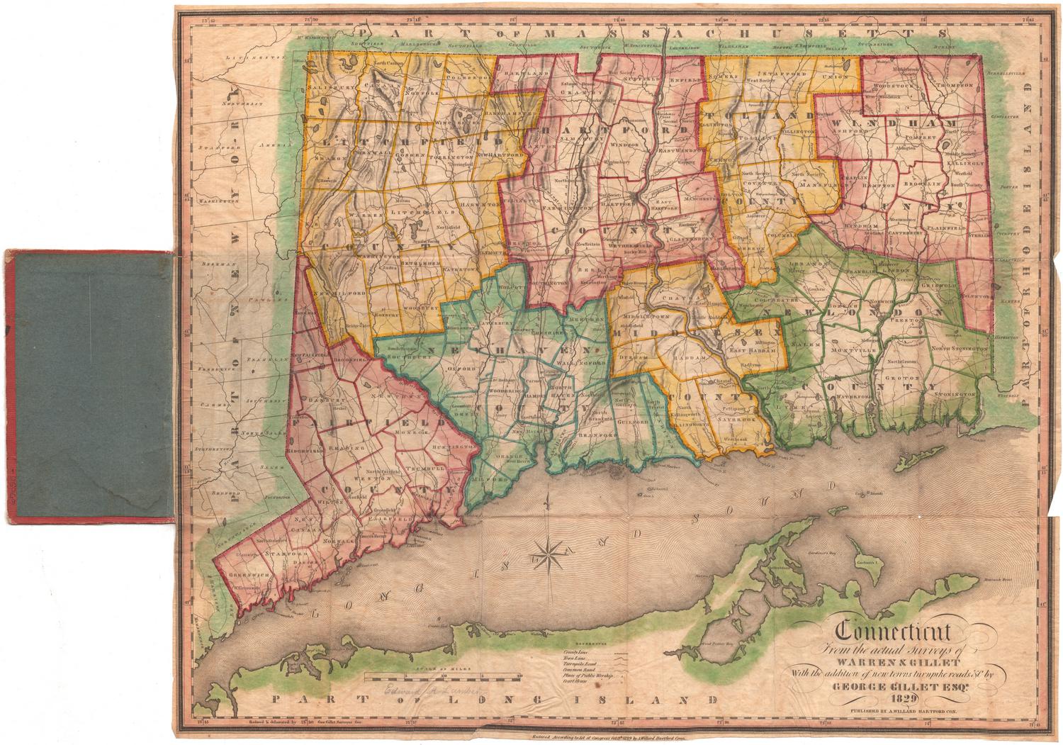
DescriptionPocket map of Connecticut, with the border of Massachusetts to the north, the border of Rhode Island to the east, part of Long Island and the Long Island Sound to the south, and the border of New York to the west. The state is divided into counties, colored pink, yellow, green or blue. Town divisions are not shown. Physical features depicted include elevation, conveyed with hachure marks; rivers; and lakes/ponds. Major roads are shown.
Label TextThe Connecticut Historical Society has two maps of Connecticut published in Hartford in the 1830s by Willis Thrall: this one published in 1834 and another published in 1831. Both are folding pocket maps but they are by no means identical. This map is barely half the size of the other map and provides much less detail. It is difficult to imagine why a Hartford publisher would produce such a map rather than reprinting the earlier map which it seems would have been much more useful. Presumably there was a market for it. Perhaps it was significantly less expensive, or perhaps purchasers found something appealing in its miniature scale. Folded into its covers, it measures less than three by two inches.
NotesCartographic Note: No scale:Status
Not on view