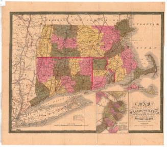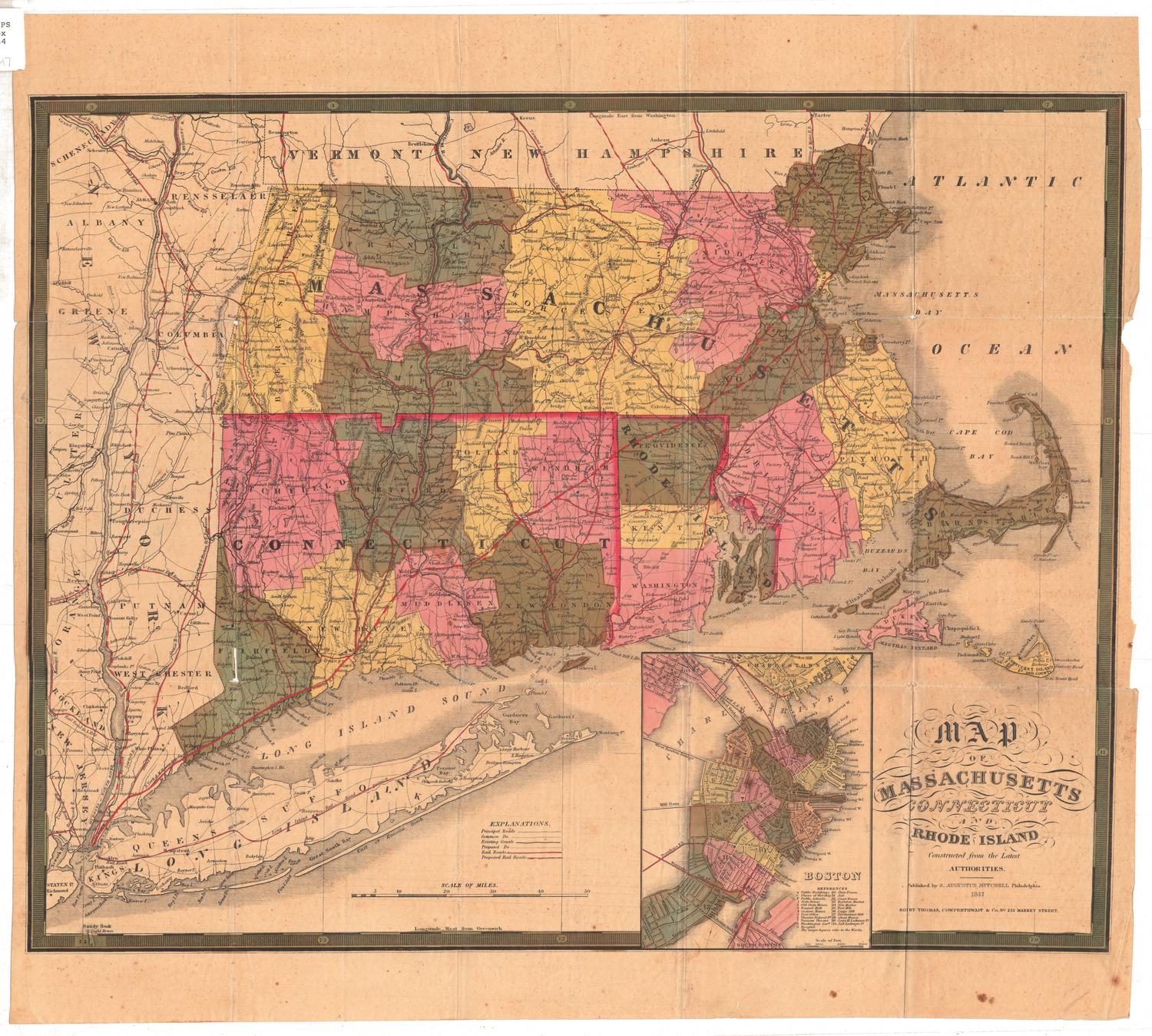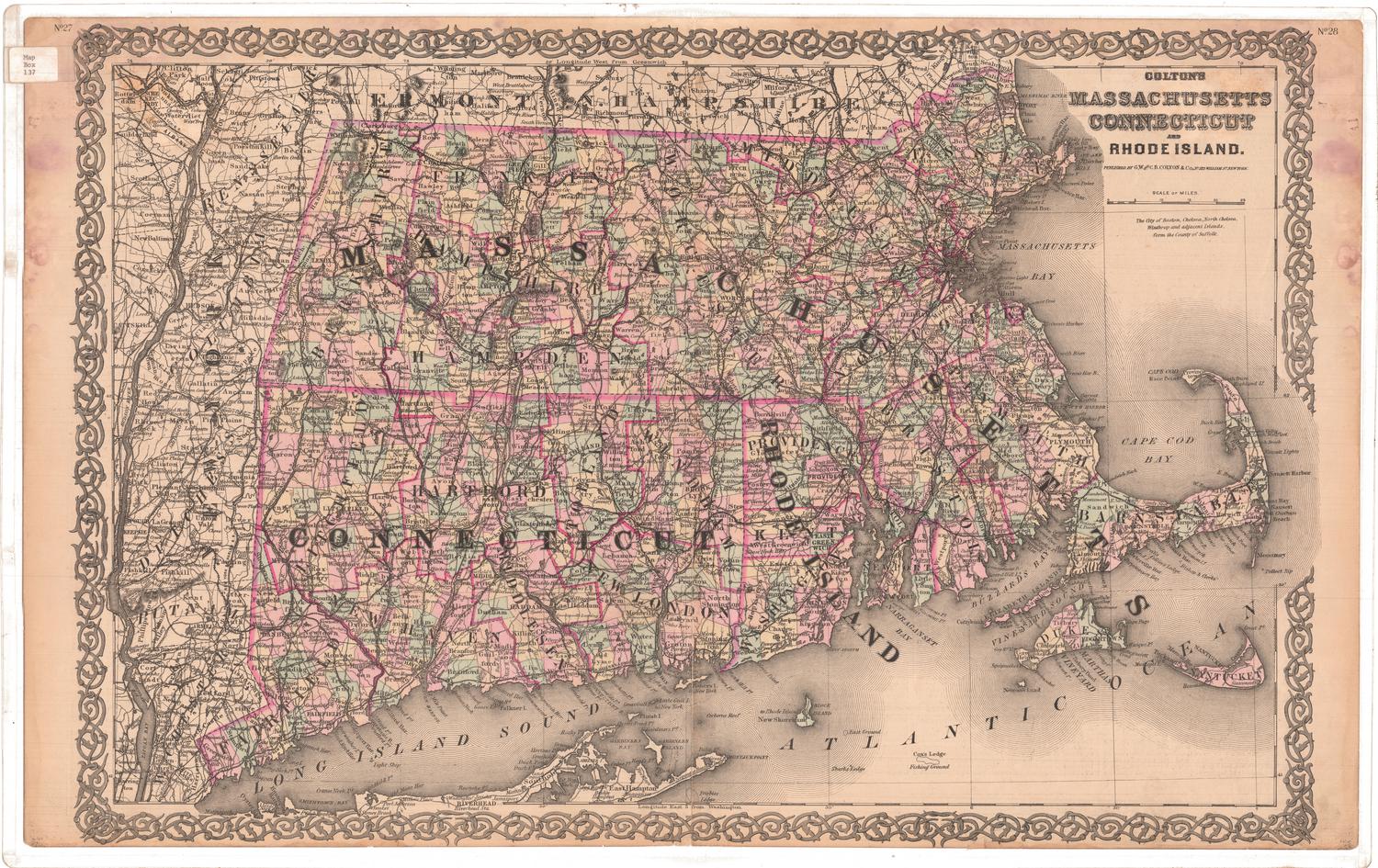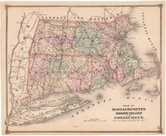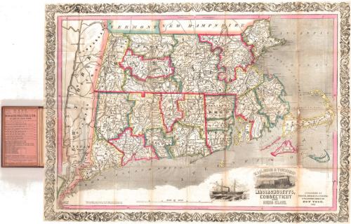
Rail-road and Township Map of Massachusetts, Connecticut and Rhode Island
PublisherPublished by
Thayer, Bridgman & Fanning
(American, active 1853)
Packaging MakerPackaging made for
Horace Thayer & Co.
(American, 1852)
Date1853
MediumLithography; black printer's ink and watercolor on wove paper, in cardboard covers
DimensionsPrimary Dimensions (image height x width): 20 1/8 x 27in. (51.1 x 68.6cm)
Sheet (height x width): 20 1/4 x 27 1/4in. (51.4 x 69.2cm)
ClassificationsGraphics
Credit LineConnecticut Museum of Culture and History collection
Object number1996.187.0
DescriptionPocket map of Massachusetts, Connecticut and Rhode Island, with the borders of Vermont and New Hampshire to the north, the Atlantic Ocean to the east, the Long Island Sound to the south, and New York state to the west. The states are divided into counties, outlined in blue, red, green, or yellow, and subdivided into towns. Railroad lines are prominently depicted, although they are not labeled. Cities are indicated with groups of black squares. Physical features depicted include elevation, conveyed with hachure marks, rivers and lakes. The decorative cartouche shows a train with a town in the backgroun. To the left of this is a vignette of a large steamboat.
Label TextThe competition and rivalry between New York map publishers must have been intense. In 1853, both Thayer, Bridgman & Fanning and J. H. Colton & Co. copyrighted and published maps entitled "Railroad and Township Map of Massachusetts, Connecticut and Rhode Island." The format of the two maps is also strikingly similar, though the Thayer, Bridgman & Fanning map includes attractive vignettes of a steamship and a railroad train, and the Colton map includes portions of the adjoining states. Both maps have the elaborate decorative borders typical of the Colton firm, and it seems likely that the short-lived partnership between Thayer, Bridgman & Fanning based their map on the one published by their long-running, successful competitor. Horace Thayer was in business as Horace Thayer & Co. in 1852, and the covers of the 1853 map that he published with Bridgman and Fanning bears that imprint. Thayer must have an existing stock of covers with his old imprint, which the new firm thriftily used to package their map. By 1854, Thayer had left the partnership, which then became Ensign, Bridgman & Fanning.
NotesCartographic Note: Scale: 1 1/8 inch equals 10 milesStatus
Not on view