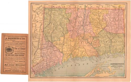
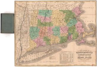
Connecticut
PublisherPublished by
George F. Cram & Co.
(American, 1869 - 2012)
DistributorDistributed by
Brown Thomson & Co.
(American)
Dateabout 1909
MediumLithography; black and colored printer's inks on wove paper, in paper covers
DimensionsPrimary Dimensions (image height x width): 10 1/4 x 13in. (26 x 33cm)
Sheet (height x width): 11 1/8 x 14in. (28.3 x 35.6cm)
ClassificationsGraphics
Credit LineConnecticut Museum of Culture and History collection
Object number1991.196.0
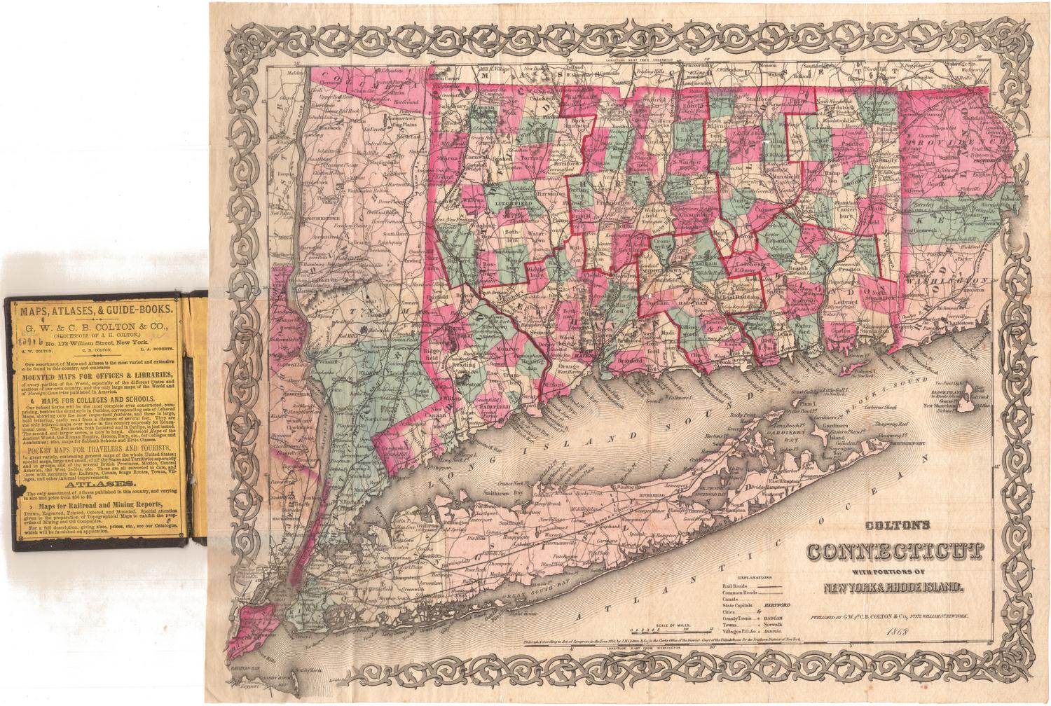
DescriptionPocket map of Connecticut, with Massachusetts to the north, Rhode Island to the east, part of Long Island and the Long Island Sound to the south, and New York to the west. The state is divided into counties, colored green, pink, orange, or yellow. Cities and towns are marked with open circles and are labeled. Railroad lines, including stations, are shown: New York, New Haven and Hartford; New York and New England; Central Vermont; and Philadelphia, Reading and New England. Physical features depicted include rivers and lakes/ponds.
Label TextIt's unimaginable today that a map intended for general use would include no highways or roads of any kind, but this early twentieth-map of Connecticut shows nothing but railroads. This clearly indicates just how important rail transportation was at the time. The inscription "Compliments of Brown, Thomson & Co." suggests that the map was given away free of charge to customers of that Hartford department store. Brown Thomson offered "the convenience of getting everything you want under one roof." Advertisements for pianos, optical goods, and sewing machines inside the front cover of the map reflect the diversity of goods that the company had for sale.
NotesCartographic Note: Scale: 1 1/4 inches equals 10 milesStatus
Not on view
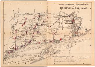
Blum's Commercial Map Publishing Company
1927-1928