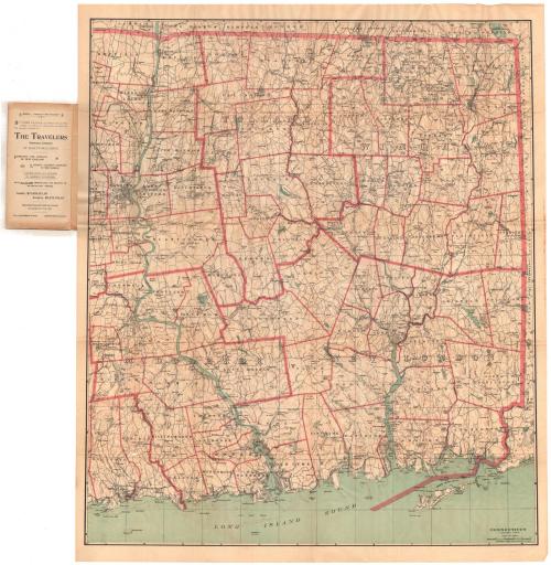
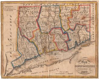
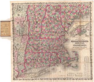
Connecticut, Eastern Part
PublisherPublished by
Geo. H. Walker & Co.
(American, founded 1880)
Date1893
MediumLIthography; black and colored printer's inks on wove paper, in paper folder
DimensionsPrimary Dimensions (image height x width): 32 1/4 x 27 1/4in. (81.9 x 69.2cm)
Sheet (height x width): 34 1/8 x 28 5/8in. (86.7 x 72.7cm)
ClassificationsGraphics
Credit LineConnecticut Museum of Culture and History collection
Object number1988.230.0
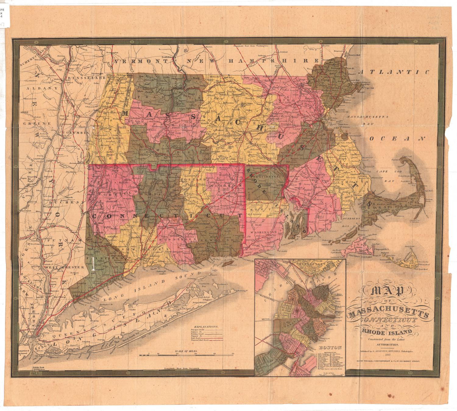
DescriptionPocket map of the eastern part of Connecticut, with Massachusetts to the north, Rhode Island to the east, and the Long Island Sound to the south. County divisions are marked with thick pink lines, and town divisions with thin ones. Both are labeled. Roads are shown, as are railroad lines, including the New York, New Haven and Hartford; New London and Norther Division of the Central Vermont; and the New York and New England. Physical features depicted include elevation, conveyed with contour lines; rivers; and lakes and ponds. The map comes with an index.
Label TextFinding ones way in nineteenth century Connecticut must have been a real challenge. This 1893 map focuses on just the eastern part of the state, depicting the road system in considerable detail. However, few roads are named, aside from the major turnpikes. Travelers must have relied heavily upon signposts and on directions from local residents. This situation would change radically in the early twentieth century, as more and more people took to the road in private automobiles, traveling both farther and faster than was possible in the 1800s.
NotesCartographic Note: Scale: 1/2 inch equals about 1 mileStatus
Not on view
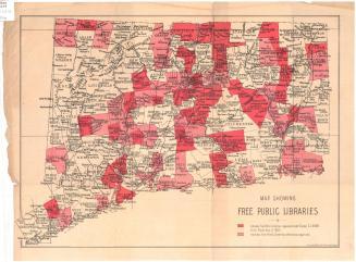

Kellogg & Bulkeley
1910-1915