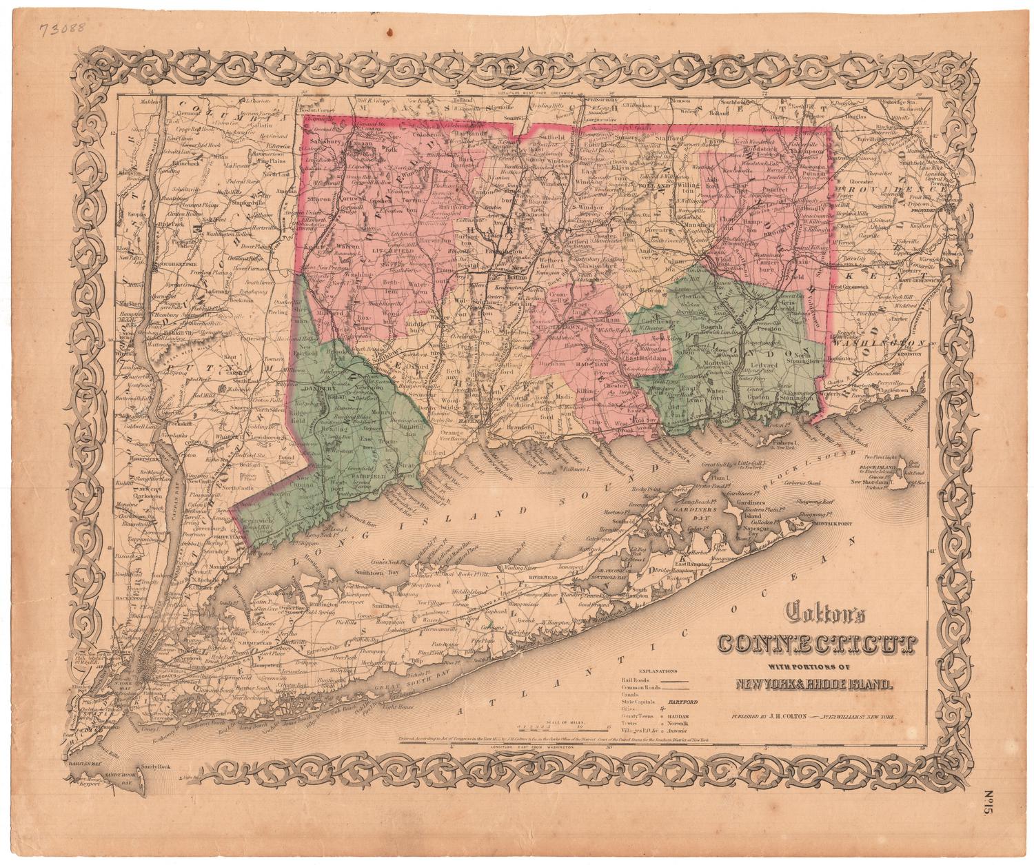
Colton's Railroad and Township Map of Massachusetts, Rhode Island and Connecticut
PublisherPublished by
J. H. Colton & Co.
(American, founded 1831)
PrinterPrinted by
David McLellan
(Scottish-American, active 1851 - 1867)
Date1854
MediumLithography; black printer's ink and watercolor on wove paper, in cardboard covers
DimensionsPrimary Dimensions (image height x width): 24 1/4 x 28 1/8in. (61.6 x 71.4cm)
Sheet (height x width): 25 5/8 x 29 5/8in. (65.1 x 75.2cm)
Sheet (height x width): 25 5/8 x 29 5/8in. (65.1 x 75.2cm)
ClassificationsGraphics
Credit LineMuseum purchase
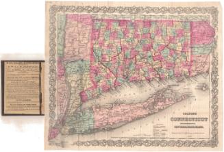
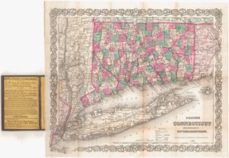
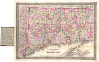
DescriptionPocket map of Massachusetts, Connecticut and Rhode Island, with parts of Vermont, New Hampshire and Maine to the north, the Atlantic Ocean to the east, part of Long Island and the Long Island Sound to the south, and eastern New York to the west. The states are divided into counties, colored pink, green, blue and yellow. Finished and proposed railroads are shown, including New York and New Haven; Housatonic; Naugatuck; New Haven, Hartford and Springfield; New London, Willimantic and Palmer; Norwich and Worcester; Stonington; and Western. Common roads are also shown. Physical features depicted include elevation, conveyed with hachure marks; rivers; and lakes/ponds. At the bottom are population tables for Connecticut, Rhode Island and Massachusetts for 1840 and 1850. The inside front cover contains an advertisement for the publisher.
Object number1985.213.0
NotesCartographic Note: Scale: 1 1/8 inch equals 10 milesOn View
Not on view