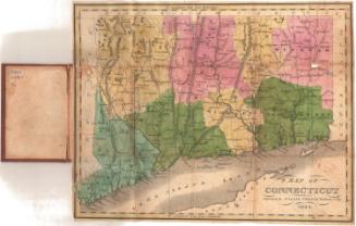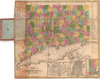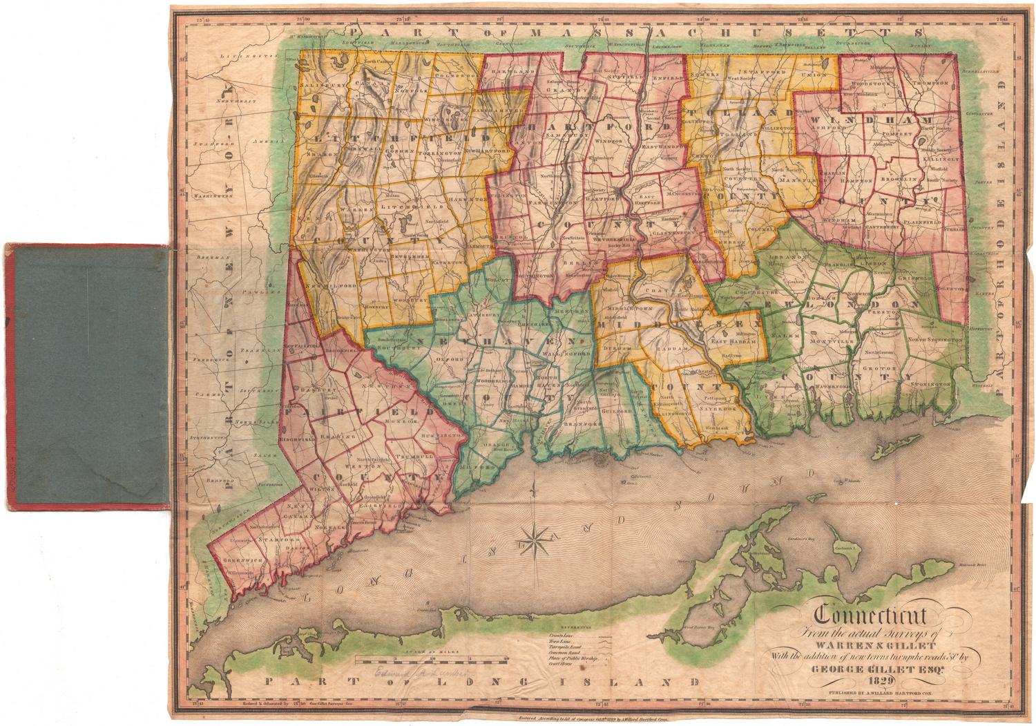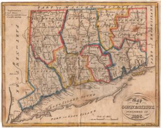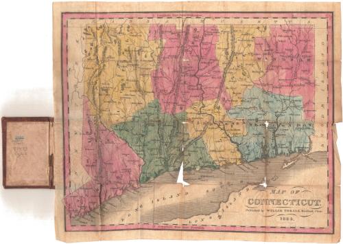
Map of Connecticut
PublisherPublished by
Willis Thrall
(American, 1800 - 1884)
Date1834
MediumEngraving; black printer's ink and watercolor on wove paper, in cardboard covers
DimensionsPrimary Dimensions (image height x width): 8 1/2 x 10 3/8in. (21.6 x 26.4cm)
Sheet (height x width): 9 1/4 x 10 7/8in. (23.5 x 27.6cm)
Sheet (height x width): 9 1/4 x 10 7/8in. (23.5 x 27.6cm)
ClassificationsGraphics
Credit LineMuseum purchase
DescriptionPocket map of Connecticut, with Massachusetts to the north, Rhode Island to the east, Long Island and the Long Island Sound to the south, and New York to the west. The state is divided into counties, colored pink, green, blue or yellow. Towns are marked with circles. Major roads are shown. Physical features depicted include elevation, conveyed with hachure marks; rivers; and lakes/ponds.
Object number1981.147.0
NotesCartographic Note: No scaleOn View
Not on view