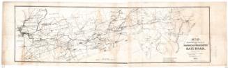
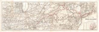
Map of the Shore Line Rail Road route Between New York and Boston, showing it's Rail Road and Steamboat Connection with New York, New Haven, New London, Stonington, Providence, Newport and Boston
PrintmakerEngraved by
H. F. Walling's Map Establishment
(American, founded 1856)
PrinterPrinted by
H. F. Walling's Map Establishment
(American, founded 1856)
PublisherPublished by
H. F. Walling's Map Establishment
(American, founded 1856)
Date1860
MediumLithography; black printer's ink and watercolor on wove paper mounted on fabric
DimensionsPrimary Dimensions (image height x width): 28 3/4 x 34 3/4in. (73 x 88.3cm)
Sheet (height x width): 31 x 38in. (78.7 x 96.5cm)
Sheet (height x width): 31 x 38in. (78.7 x 96.5cm)
ClassificationsGraphics
Credit LineConnecticut Museum of Culture and History collection
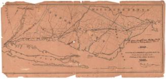
DescriptionDetailed map of southern New England states, including Connecticut, Rhode Island, and Massachusetts, wtih part of New York. Drainage, cities and towns, state boundaries, township lines, the railroad network, and steamboat connections are indicated. Elevation is not indicated.
Object number2012.312.287
NotesCartographic Note: No scaleOn View
Not on view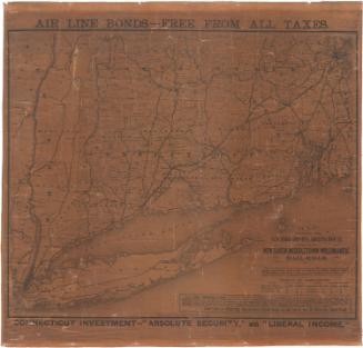

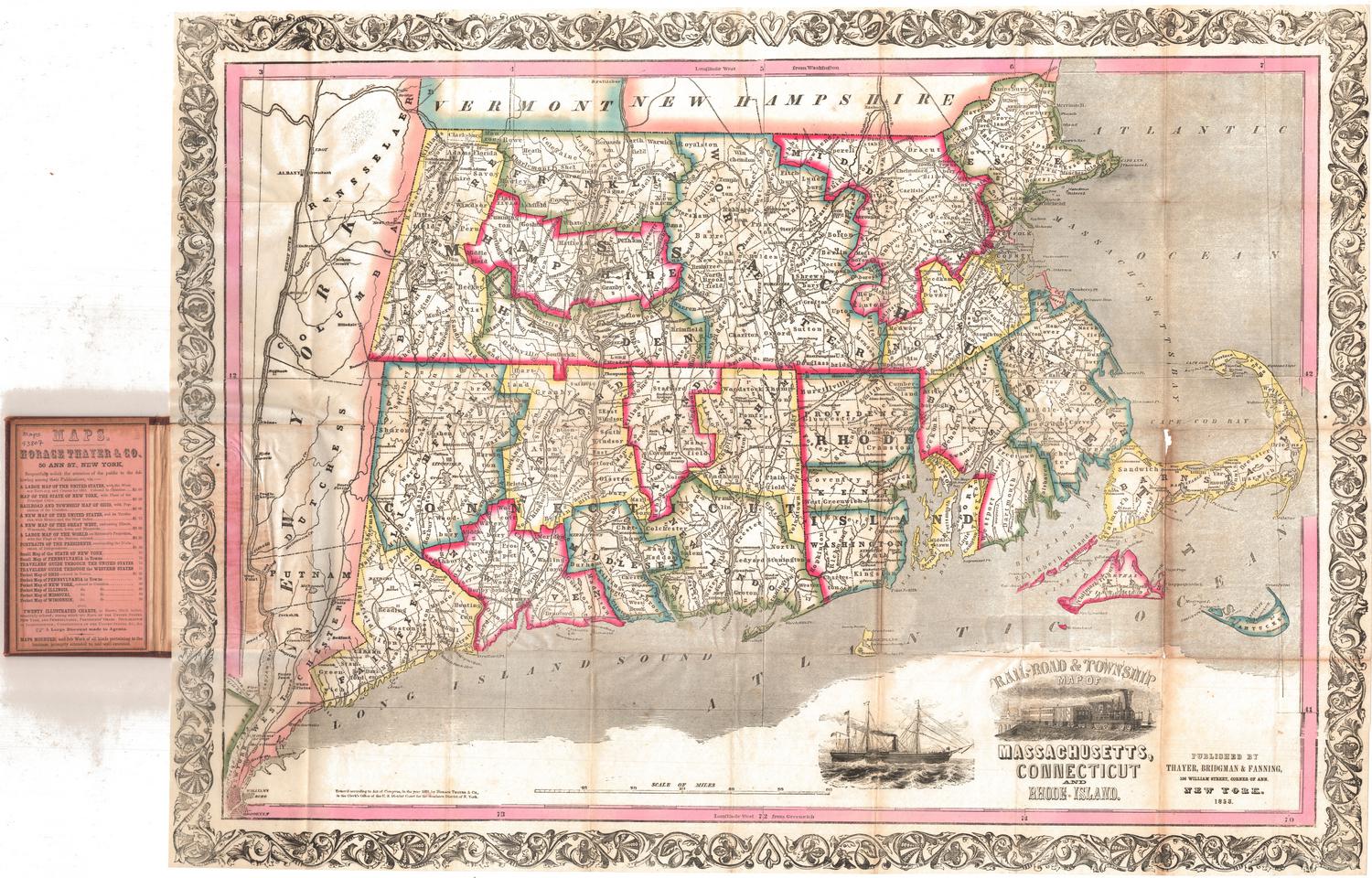
Thayer, Bridgman & Fanning
1853