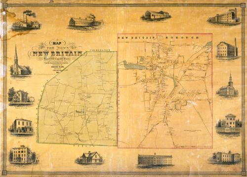
Map of the Town of New Britain, Hartford County, Conn.
SurveyorSurveyed by
E. M. Woodford
(American, 1824 - 1862)
PrinterPrinted by
Wagner & McGuigan
(American, 1845 - 1859)
PublisherPublished by
Richard Clark
(American)
Date1851
MediumLithography; black printer's ink and watercolor on wove paper mounted on fabric
DimensionsPrimary Dimensions (image height x width): 30 5/8 x 43in. (77.8 x 109.2cm)
Sheet (height x width): 33 1/2 x 44in. (85.1 x 111.8cm)
Sheet (height x width): 33 1/2 x 44in. (85.1 x 111.8cm)
ClassificationsGraphics
Credit LineConnecticut Museum of Culture and History collection
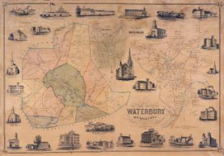
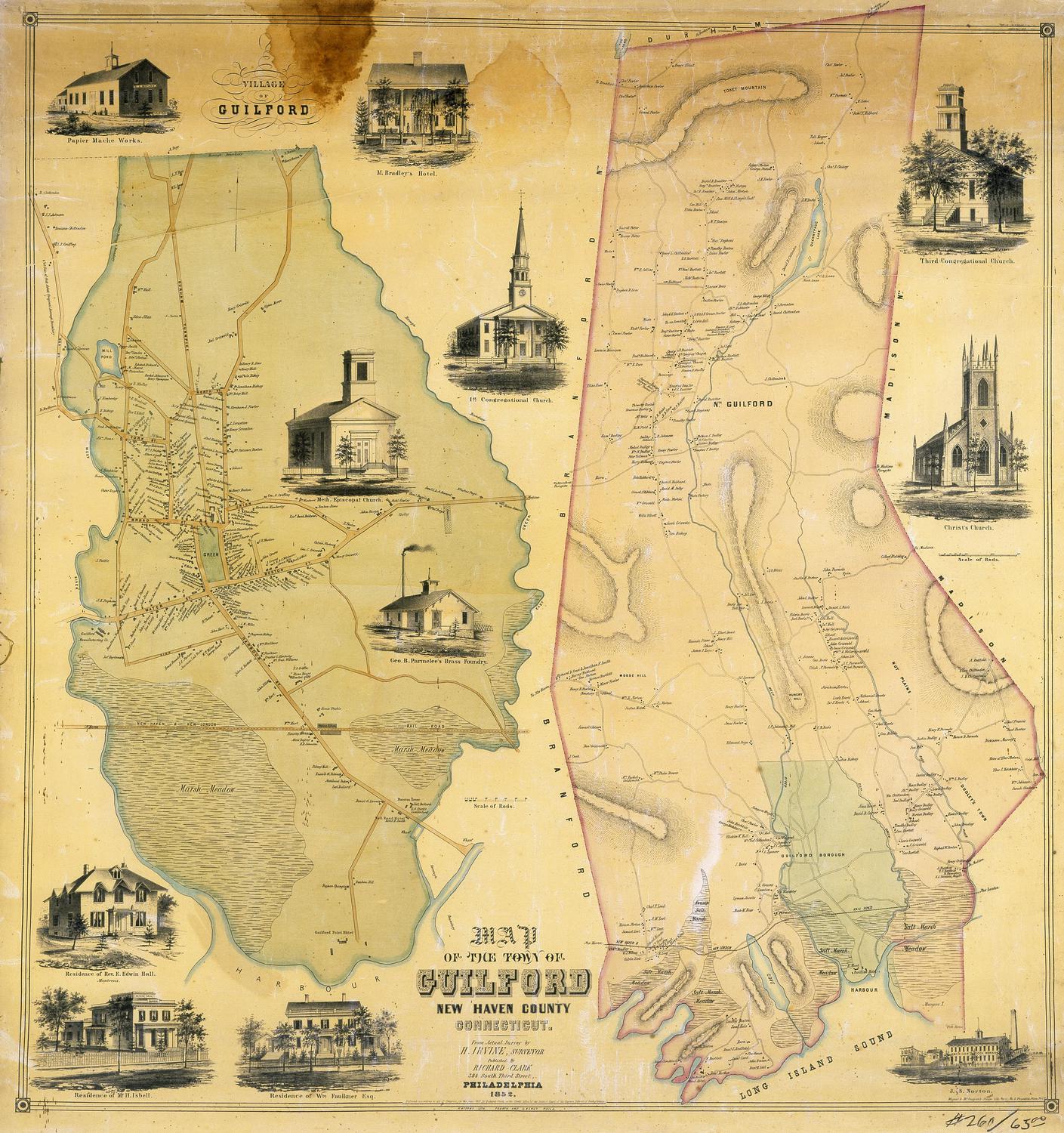
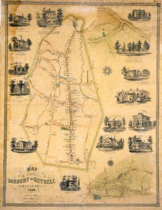
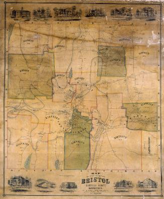
DescriptionMap of the town of New Britain, Connecticut at the left, with Farmington to the north, Wethersfield to the east, Berlin to the south, and Southington and Farmington to the west.; map of the borough of New Britain at the right. Roads and streets are shown and named within the borough. Names of property owners are indicated in the detailed map of the borough and in outlying sections of the town on the other map. The Hartford, Providence, and Fishkill Railroad appears on both maps. Ponds and streams are shown but not named. Elevaton is not indicated. Vignettes surrounding the maps depict Argillo Furnace, Russel, Erwin and Company; Russel and Erwin's Moulding Shop; Russel and Erwin's Office and Packing Room; Russel and Erwin's Lock Factory; Russel and Erwin's Finishing Room; the New Britain Knitting Company; the North Congregational Church; the Episcopal Church; the Normal School; Humphrey House; and the residences of I. N. Lee, F. H. North, F. T. Stanley, and T. W. Stanley.
Object number2012.312.283
NotesCartographic Note: One inch equals approximatley 20 rods (for map of borough); no scale given for map of townOn View
Not on view