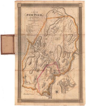
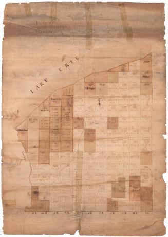
A Distance Map of the Town of Franklin
DraftsmanDrawn by
Andrew B. Smith
(American, 1818 - 1885)
Date1858
MediumDrawing; pencil and red and black ink on wove paper, on rollers
DimensionsPrimary Dimensions (image height x width): 50 3/4 x 45 3/4in. (128.9 x 116.2cm)
Sheet (height x width): 51 1/2 x 45 3/4in. (130.8 x 116.2cm)
Mount (height x width): 53 1/2 x 45 3/4in. (135.9 x 116.2cm)
Sheet (height x width): 51 1/2 x 45 3/4in. (130.8 x 116.2cm)
Mount (height x width): 53 1/2 x 45 3/4in. (135.9 x 116.2cm)
ClassificationsGraphics
Credit LineMuseum purchase
DescriptionManuscript map of Franklin, Connecticut, with the Shetucket River to the east. The local roads are shown, with black squares along them marking the locations of houses and businesses. The owner's names are provided, along with measurements that indicate the distance between that building and its neighbor. The Shetucket River and various ponds and brooks are shown.
Object number1947.21.1
NotesCartographic Note: Scale: 1 inch equals 48 rodsOn View
Not on view