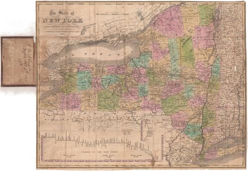
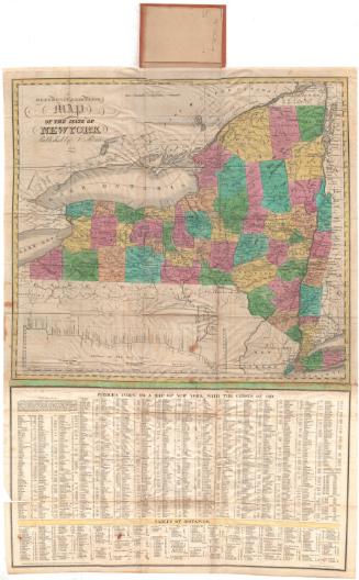
The State of New York from the Most Recent Surveys
PublisherPublished by
Eleazer Huntington
(American, 1789 - 1852)
RetailerSold by
R. & J. O'Hara
Date1833
MediumEngraving; black printer's ink and watercolor on wove paper, in cardboard covers
DimensionsPrimary Dimensions (image height x width): 16 1/8 x 20 1/2in. (41 x 52.1cm)
Sheet (height x width): 16 3/4 x 20 1/2in. (42.5 x 52.1cm)
ClassificationsGraphics
Credit LineMuseum purchase
Object number1990.183.0
DescriptionPocket map of New York State, with part of western Massachusetts and Connecticut to the east, Pennsylvania and New Jersey to the south, and Lakes Erie and Ontario to the west and northwest. The state is divided into townships, colored green, blue, pink, or peach. Towns are marked with circles and are labeled. The Erie Canal is shown on the map and in profile below it. Physical features include lakes and rivers.
Label TextThe inscription "J. H. McLaughlin / Buffalo Oct. 7th 1834" probably indicates the name of an early owner of this map of New York State. Printed in Hartford, Connecticut by Eleazer Huntington in 1833, the map was sold in Troy, New York by the booksellers R. & J. O'Hara. Mr. McLaughlin probably purchased the map there on his way to Buffalo, perhaps by way of the Erie Canal. The fact that a Troy, New York bookseller's imprint appears on the maps suggests that Huntington was printing the maps specifically for a New York market. It is possible that the O'Haras, who published at least one other map, commissioned this one from Huntington. It is also possible that Huntington sold the maps to other New York booksellers.
NotesCartographic Note: Scale: 1 inch equals about 19 milesStatus
Not on view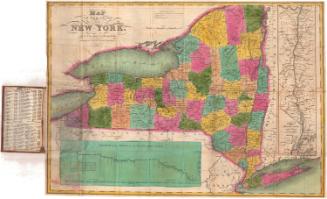


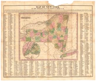
Samuel Augustus Mitchell
1834
Samuel Augustus Mitchell
1835