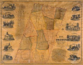
Map of Newington, Connecticut
DraftsmanDrawn by
P. N. Agogliati
(American, born 1921)
MakerUnder the supervision of
Edward C. Fresen
(American, 1907 - 1970)
DraftsmanDrawn by
Morris Knowles, Inc.
(American, 1916 - 1985)
After a work byAfter a work by
Arthur W. Bacon
(American, 1881 - 1970)
Date1949
MediumLithography; printer's ink on wove paper
DimensionsPrimary Dimensions (image height x width): 13 1/8 x 21in. (33.3 x 53.3cm)
Sheet (height x width): 15 x 22in. (38.1 x 55.9cm)
Sheet (height x width): 15 x 22in. (38.1 x 55.9cm)
ClassificationsGraphics
Credit LineConnecticut Museum of Culture and History collection
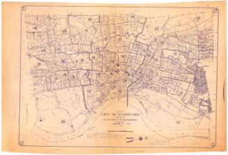
DescriptionMap of Newington, Connecticut, with New Britain and Farmington to the north, West Hartford and Hartford to the east, Wethersfield and Rocky Hill to the south, and Berlin to the west. Streams, streets, schools, hospitals, parks, town property, and the New York, New Haven and Hartford Railroad are shown. A street index is at the right.
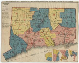
On verso, zone map of same area shows the following Use Districts: A Residence Districts, B Residence Districts, Business Districts, Industrial Districts. Roman numerals I-IV indicate Area Districts.
On verso, zone map of same area shows the following Use Districts: A Residence Districts, B Residence Districts, Business Districts, Industrial Districts. Roman numerals I-IV indicate Area Districts.
Object number2007.85.0
NotesCartographic Note: One inch equals 500 feetOn View
Not on view

Kellogg & Bulkeley
1910-1915
Kellogg & Bulkeley
1915-1920