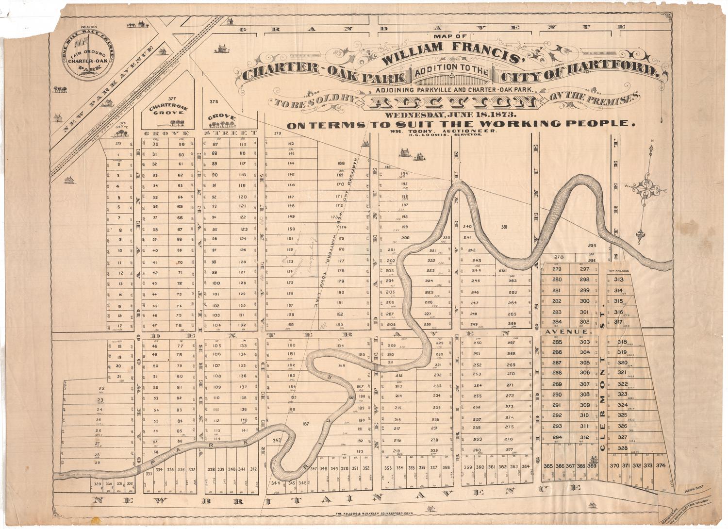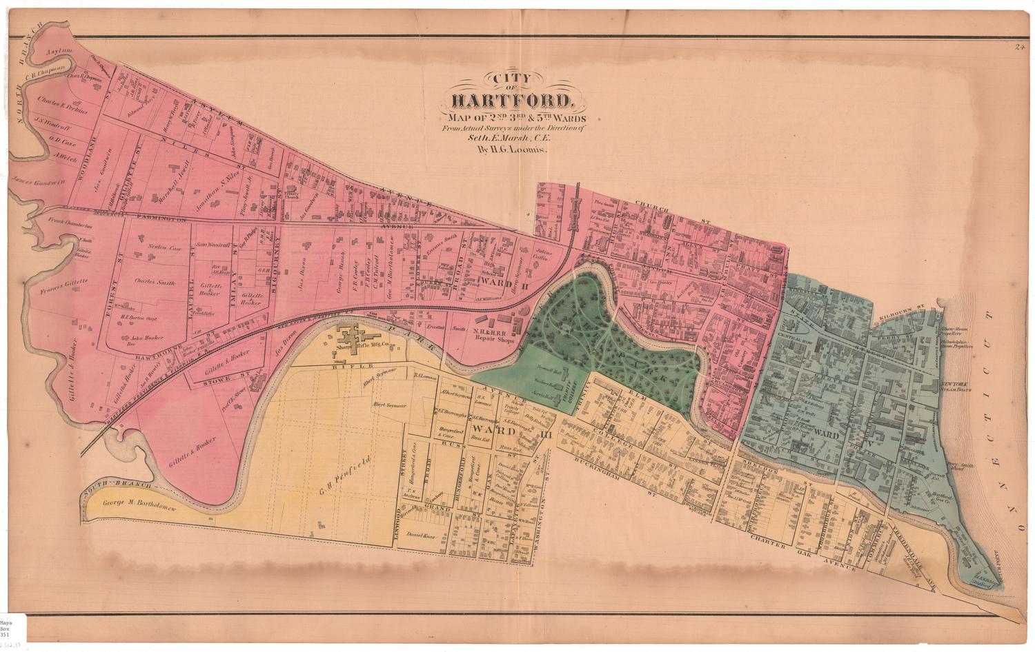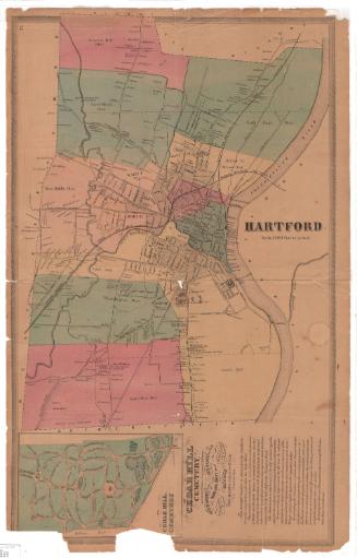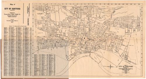
Map of City of Hartford
PublisherPublished by the
Connecticut Valley Guide Co.
(American)
Date1927
MediumLithography; black printer's ink on wove paper, in paper folder
DimensionsPrimary Dimensions (image height x width): 12 7/8 x 19 1/8in. (32.7 x 48.6cm)
Sheet (height x width): 13 3/4 x 25in. (34.9 x 63.5cm)
ClassificationsGraphics
Credit LineGift of the estate of Henry A. Castle
Object number1962.106.1
DescriptionPocket map of the city of Hartford, Connecticut, oriented east-west on the sheet so that the Connecticut River appears at the bottom. The streets are labeled, as are parks. The New York, New Haven and Hartford Railroad runs through town. Street railways are shown on Maple Avenue, New Britain Avenue, Broad Street, Zion Street, Wethersfield Avenue/Main Street, Windsor Avenue, Albany Avenue, Farmington Avenue, Capitol Avenue, Fairfield Avenue, Washington Street, Blue Hills Avenue, and Asylum Avenue. On the left is a street index.
Label TextAlthough this map shows trolley lines and railroad lines, it places particular emphasis on what it calls "automobile routes," stressing the growing importance of private transportation. Though some people continued to take trolleys and trains, more and more people were using their own cars to get to and from work and to get out and explore the countryside during their leisure time. Despite the increasing numbers of cars on the roads, no parking lots are shown on this map of the city of Hartford. People were still expected to park their cars on the streets.
NotesCartographic Note: Scale: 2 inches equal 1 mileStatus
Not on view