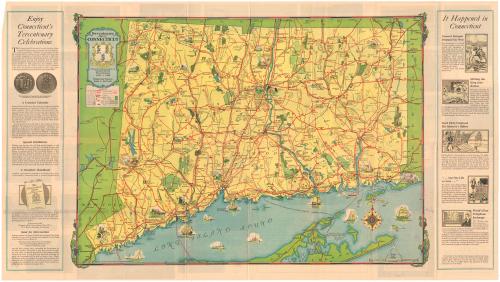
Tercentenary Map of Connecticut
DraftsmanDrawn by
John F. Butler
PublisherPublished by the
Southern New England Telephone Company
(American, 1878 - 2006)
Date1935
MediumOffset lithography; black and colored printer's inks on wove paper
DimensionsPrimary Dimensions (image height x width): 16 1/2 x 23in. (41.9 x 58.4cm)
Sheet (height x width): 18 1/8 x 31 7/8in. (46 x 81cm)
Sheet (height x width): 18 1/8 x 31 7/8in. (46 x 81cm)
ClassificationsGraphics
Credit LineGift of Mrs. Edward S. Church
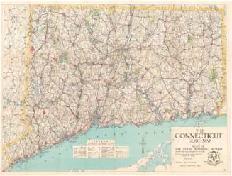
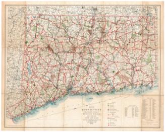
DescriptionPocket map of the state of Connecticut, with part of Massachusetts to the north, part of Rhode Island to the east, Long Island and the Long Island Sound to the south, and part of New York to the west. Small drawings indicate the sites of historic importance. Red lines are used to mark the various roads in the state, with green areas representing state parks, state forests, and state leased shooting grounds. Golf and yacht clubs, picnic areas, beaches, and flying fields are marked with symbols. Elevation is conveyed with hachure marks. On the same side as the map are advertisements for tercentenary paraphernalia and small reproductions of scenes of historic importance. On the back are photographs of historic Connecticut sites, including Webb House in Wethersfield, Glebe House in Woodbury, the Old State House, Newgate Prison, and the New Haven green. Present-day outdoor activities are also depicted.
Object number1961.106.1
NotesCartographic Note: 1 inch equals about 5 milesOn View
Not on view

Connecticut State Highway Department
1934