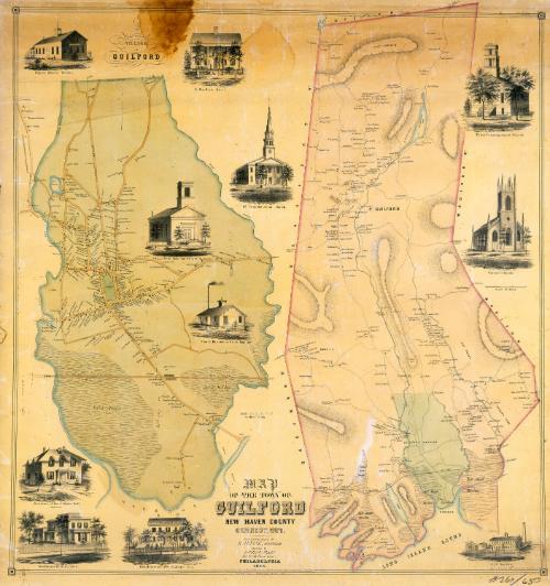
Map of the Town of Guilford, New Haven County, Connecticut
SurveyorSurveyed by
H. Irvine
(American)
PrintmakerLithographed by
John F. Watson
(American, active 1835 - 1861)
PrinterPrinted by
Wagner & McGuigan
(American, 1845 - 1859)
PublisherPublished by
Richard Clark
(American)
Date1852
MediumLithography; black printer's ink and watercolor on wove paper mounted on fabric
DimensionsPrimary Dimensions (image height x width): 41 3/8 x 39in. (105.1 x 99.1cm)
Sheet (height x width): 43 1/2 x 41 1/8in. (110.5 x 104.5cm)
ClassificationsGraphics
Credit LineMuseum purchase
Object number1986.288.2
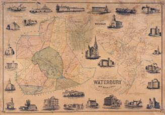
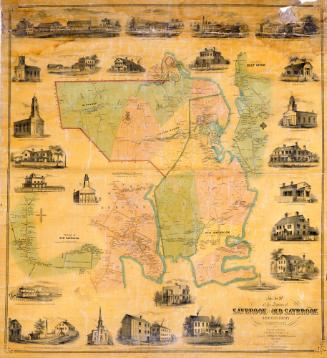
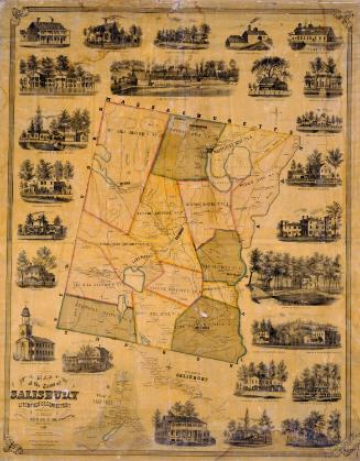
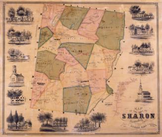
DescriptionMap of the town of Guilford, Connecticut, with Durham on the north, North Madison and Madison on the east, Long Island Sound on the south, and Branford and North Branford on the west. Streams, laked, ponds, and extensive salt marsh meadows are shown. Hills appear as outlines surrounded by hachure marks. Toket Mountain, Hungry Hill, Quennypaug Lake, Nut Plains, Dudley's Town, Guilford Borough, and North Guilford are identified. A separate detailed map of the village of Guilford is at the left. Streets, businesses, and houses are shown; names of property owners appear on both maps, though the names of property owners in Guilford village do not appear on the larger map. The New Haven and New London Railroad appears on both maps. Vignettes depict the Papier Mache Works, M. Bradley's Hotel, the First Congregational Church, the Third Congregational Church, the Methodist Episcopal Church, Christ Church, George B. Parmelee's Iron Foundry, J. S. Norton's American Lock Works, and the residences of the Reverend E. Edwin Hall, H. Isbell, and William Faulkner.
Label TextGuilford is a very old town. The "Old Stone House," built in 1639, is identified on the map of Guilford village, but does not appear as a vignette. The vignettes depict contemporary Guilford homes and businesses, whose owners probably subscribed to help cover the cost of making and printing the map. Also notable are several hotels, including the Sachem's Head Hotel, already famous in 1850s as a summer resort that attracted many visitors from the South and West. Like other large town maps of the 1850s, this map was printed and published in Philadelphia.
NotesCartographic Note: 2 1/4 inches equals 60 rods (Guilford village); One inch equals 100 rods (main map)Status
Not on view