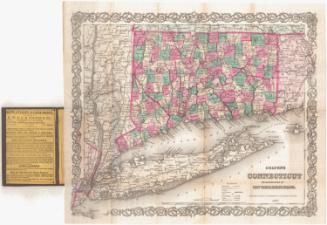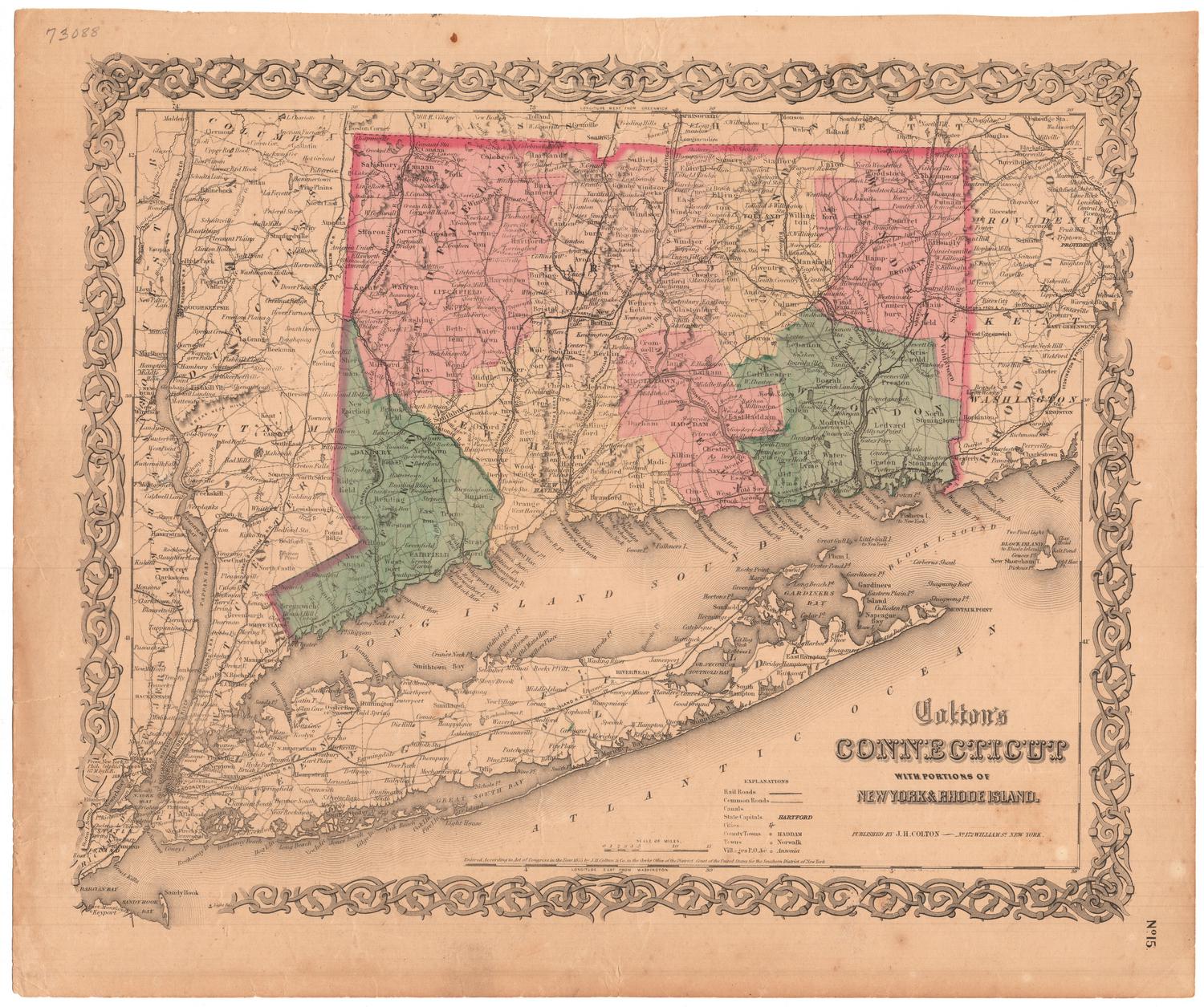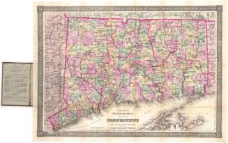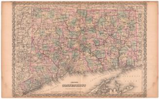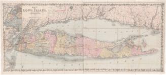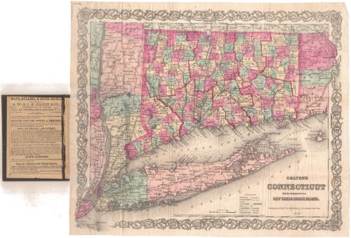
Colton's Connecticut with portions of New York and Rhode Island
PublisherPublished by
G.W. & C.B. Colton & Co.
(American, founded 1865)
PublisherCopyrighted by
J. H. Colton & Co.
(American, founded 1831)
Date1867
MediumLithography; black printer's ink and watercolor on wove paper, in cardboard covers
DimensionsPrimary Dimensions (image height x width): 12 5/8 x 15in. (32.1 x 38.1cm)
Sheet (height x width): 13 3/8 x 15 3/4in. (34 x 40cm)
Sheet (height x width): 13 3/8 x 15 3/4in. (34 x 40cm)
ClassificationsGraphics
Credit LineMuseum purchase
DescriptionMap of the state of Connecticut, with part of Massachusetts to the north, part of Rhode Island to the east, Long Island and the Long Island Sound to the south, and part of New York to the west. The state is divided into counties, outlined in red, and towns, colored pink, green, or yellow. Railroads are depicted on the map, include the New York and New Haven; Danbury and Norwalk; Naugatuck; Housatonic; Hartford, Providence and Fishkill; New Haven and New London; Norwich and Worcester; Stonington and Providence; and New York and Boston Air Line. Physical features include elevation, conveyed with hachure marks; rivers; and lakes/ponds. On the inside of the front cover is an advertisement for maps and atlases sold by G.W. & C.B. Colton & Co.
Object number1960.144.0
NotesCartographic Note: Scale: 1 inch equals 10 milesOn View
Not on view