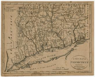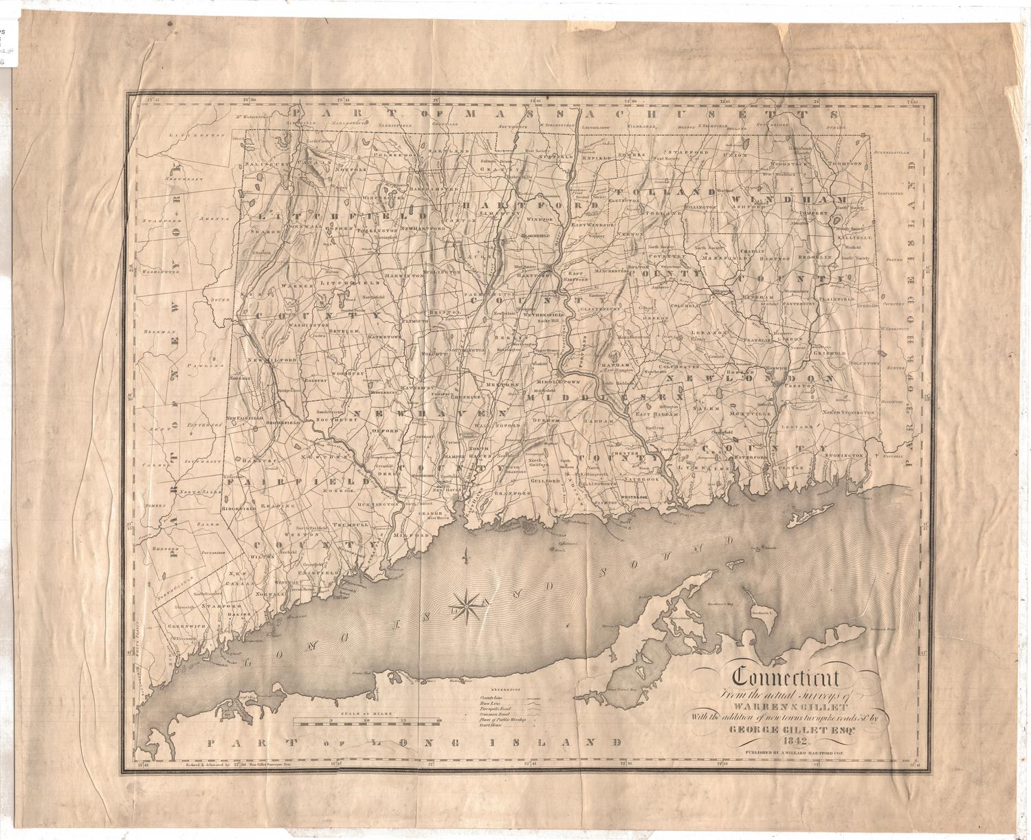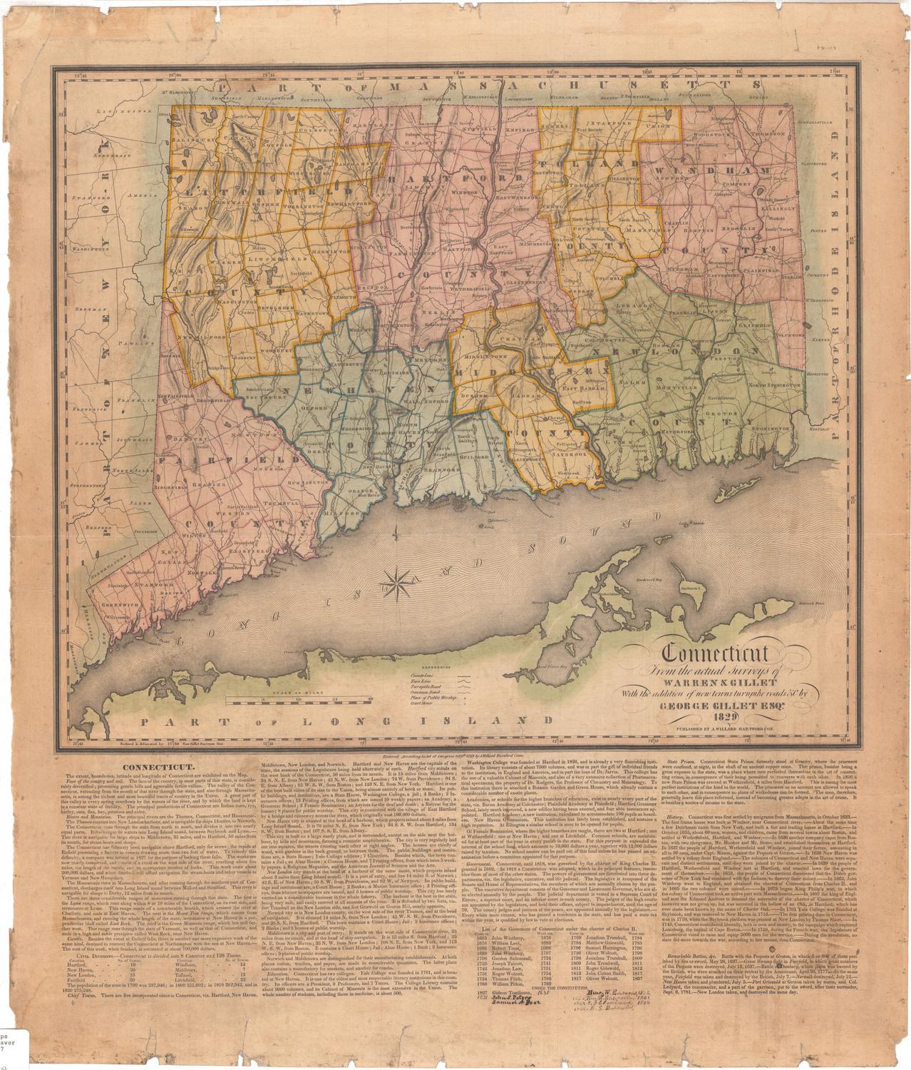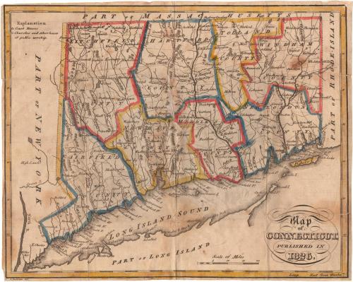
Map of Connecticut, Published in 1826
PrintmakerEngraved by
Alexander Anderson
(American, 1775 - 1870)
Date1826
MediumEngraving; black printer's ink and watercolor on paper, lined with paper, in paper covers
DimensionsPrimary Dimensions (image height x width): 7 3/8 x 9 1/4in. (18.7 x 23.5cm)
Sheet (height x width): 7 1/2 x 9 3/8in. (19.1 x 23.8cm)
Mount (height x width): 7 1/2 x 9 3/8in. (19.1 x 23.8cm)
ClassificationsGraphics
Credit LineMuseum purchase
Object number1952.101.0
DescriptionPocket map of Connecticut, with part of Massachusetts to the north, part of Rhode Island to the east, part of Long Island and the Long Island Sound to the south, and part of New York to the west. The state is divided into counties, which are outlined in yellow, blue or red. Town divisions are marked with dotted lines and towns are labeled. Court houses and houses of worships are marked with symbols explained to the left of the map. Physical features include elevation, conveyed with clusters of peaks, rivers, lakes and ponds, and islands.
Label TextNo publisher's name appears on this curiously titled "Map of Connecticut, Published in 1826." Although the date is unusually prominent, the map itself was reprinted from an old printing plate from the mid-790s. The period between 1795 and 1825 was one of great growth and expansion. Turnpikes were being built and approximately twenty-five new towns were added to the state during this thirty year time period. None of this is reflected in this map, since the plate was not updated. It almost seems that the prominent date was intended to trick unwary purchasers into thinking that they were acquiring a new, up-to-date map, when in fact nothing could be farther from the truth.
NotesCartographic Note: Scale: About 1 1/4 inches equals 15 milesStatus
Not on view