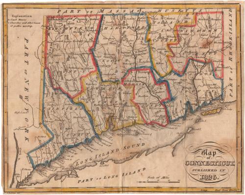
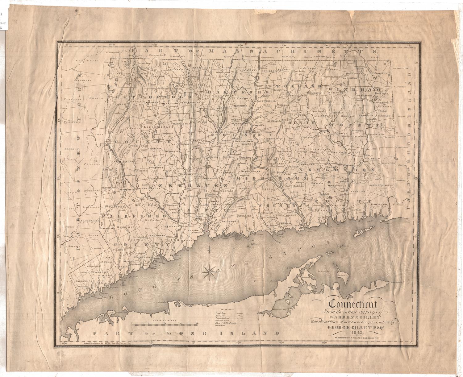
Map of Connecticut, Published in 1826
PrintmakerEngraved by
Alexander Anderson
(American, 1775 - 1870)
Date1826
MediumEngraving; black printer's ink and watercolor on paper, lined with paper, in paper covers
DimensionsPrimary Dimensions (image height x width): 7 3/8 x 9 1/4in. (18.7 x 23.5cm)
Sheet (height x width): 7 1/2 x 9 3/8in. (19.1 x 23.8cm)
Mount (height x width): 7 1/2 x 9 3/8in. (19.1 x 23.8cm)
Sheet (height x width): 7 1/2 x 9 3/8in. (19.1 x 23.8cm)
Mount (height x width): 7 1/2 x 9 3/8in. (19.1 x 23.8cm)
ClassificationsGraphics
Credit LineMuseum purchase
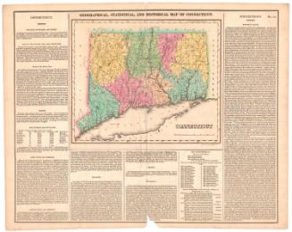
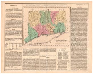
DescriptionPocket map of Connecticut, with part of Massachusetts to the north, part of Rhode Island to the east, part of Long Island and the Long Island Sound to the south, and part of New York to the west. The state is divided into counties, which are outlined in yellow, blue or red. Town divisions are marked with dotted lines and towns are labeled. Court houses and houses of worships are marked with symbols explained to the left of the map. Physical features include elevation, conveyed with clusters of peaks, rivers, lakes and ponds, and islands.
Object number1952.101.0
NotesCartographic Note: Scale: About 1 1/4 inches equals 15 milesOn View
Not on view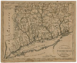


Lucius Stebbins & Co.
1859