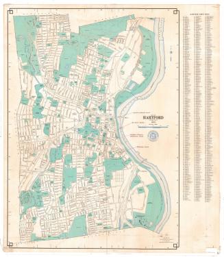
City of Hartford, Connecticut
MakerPrepared by the
Metropolitan District Commission
(American, founded 1929)
Date1977
MediumLithography; colored printer's inks on wove paper
DimensionsPrimary Dimensions (height x width): 32 x 23 1/8in. (81.3 x 58.7cm)
Sheet (height x width): 33 x 29 3/8in. (83.8 x 74.6cm)
Sheet (height x width): 33 x 29 3/8in. (83.8 x 74.6cm)
ClassificationsGraphics
Credit LineConnecticut Museum of Culture and History collection
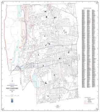
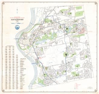
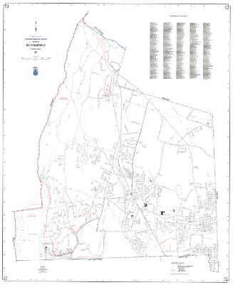
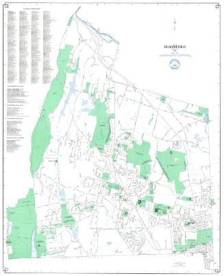
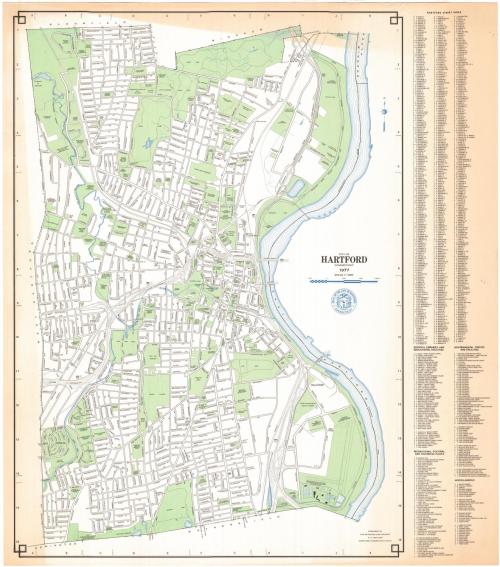
DescriptionMap of Hartford, Connecticut, from the town lines of Bloomfield and Windsor to the north, the Connecticut River to the east, the town lines of Newington and Wethersfield to the south, and the town line of West Hartford to the west. Streets are labeled and public spaces, including parks, schools, colleges, municipal infrastructure and cemeteries are colored green. Water sources (rivers, reservoirs, ponds and the like) are denoted with blue lines. The Police Department Pistol Range, the Fire Department Training Area, the Waste Disposal Area and Incinerator are at upper right; the Metroplitan District Water Treatment Plant is a lower right. To the right of the map is the street index. A compass is at upper right.
Object number1988.224.0
NotesCartographic Note: One inch equals 1000 feetOn View
Not on view