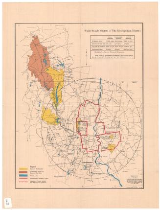
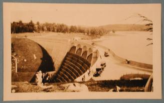
Watershed of Nepaug Reservoir
MakerPrepared for the
Board of Water Commissioners, City of Hartford
(American, founded 1853)
Date1920
MediumBlueprint; cyanotype, graphite, and red ink on wove paper
DimensionsPrimary Dimensions (image height x width): 55 x 45in. (139.7 x 114.3cm)
Sheet (height x width): 61 1/2 x 55in. (156.2 x 139.7cm)
Sheet (height x width): 61 1/2 x 55in. (156.2 x 139.7cm)
ClassificationsGraphics
Credit LineConnecticut Museum of Culture and History collection
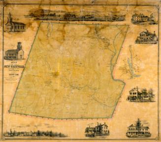
DescriptionMap of portions of Litchfield County and Hartford County, showing the watershed of the Nepaug Reservoir. Tracks of the New York, New Haven and Hartford Railroad are at the right. The East Brank Reservoir and Greenwood Pond are at the upper right. The Nepaug Reservoir, Nepaug Dam, Phelps Brook Dam, and East Dike are at the lower right. Roads are shown but not identified. Names of property owners are indicated in pencil and red ink. Some names are crossed out.
Object number1970.27.19
NotesCartographic Note: 1 inch equals 1000 feetOn View
Not on view