Map Showing Topography in Salmon Brook Valley
SurveyorSurveyed by
William E. Johnson
(American, 1867 - 1937)
SurveyorSurveyed by
Ermon M. Peck
(American, 1870 - 1968)
MakerMade for the
Hartford Water Company
(American, founded 1851)
Date1898
MediumDrawing; black, blue, and red ink on wove paper on fabric
DimensionsPrimary Dimensions (image height x width): 43 1/4 x 52in. (109.9 x 132.1cm)
Sheet (height x width): 45 1/2 x 55in. (115.6 x 139.7cm)
ClassificationsGraphics
Credit LineConnecticut Museum of Culture and History collection
Object number1970.27.17
DescriptionTopgraphical map of the Salmon Brook Valley in Granby, Connecticut, with the names of property owners. These names include Alonzo Edgerton, George Smith, S. F. Holcomb, Asa H. Case,the estate of H. L. Wilcox, B. B. Messenger, Fred Zepp, Charles B. Case, Allison Holcomb, Robert Holcomb, M. P. Mularky, Henry C. Reed, Allen Howard, and C. A. Green. Buildings include houses, barns, tobacco barns, a horse barn, cider mills, and brandy distilleries. Elevation is shown by contour intervals. A compass rose is at upper right.
Label TextIn the 1890s, it became clear that Hartford's need for water had outgrown the resources in the immediate area. In 1897 and 1898, the Hartford Water Commissioners began to consider impounding the waters of Salmon Brook to create a new reservoir in Granby to supply water to Hartford. This map shows the area under consideration. However, the cost of Salmon Brook reservoir proved prohibitive, and the Water Company turned first to the Nepaug River in Canton and then to the Farmington River in Barkhamsted to meet Hartford's needs in the twentieth century.
NotesCartographic Note: One inch equals 200 feetStatus
Not on view
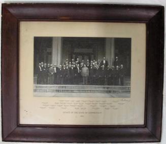
William G. Dudley
1918