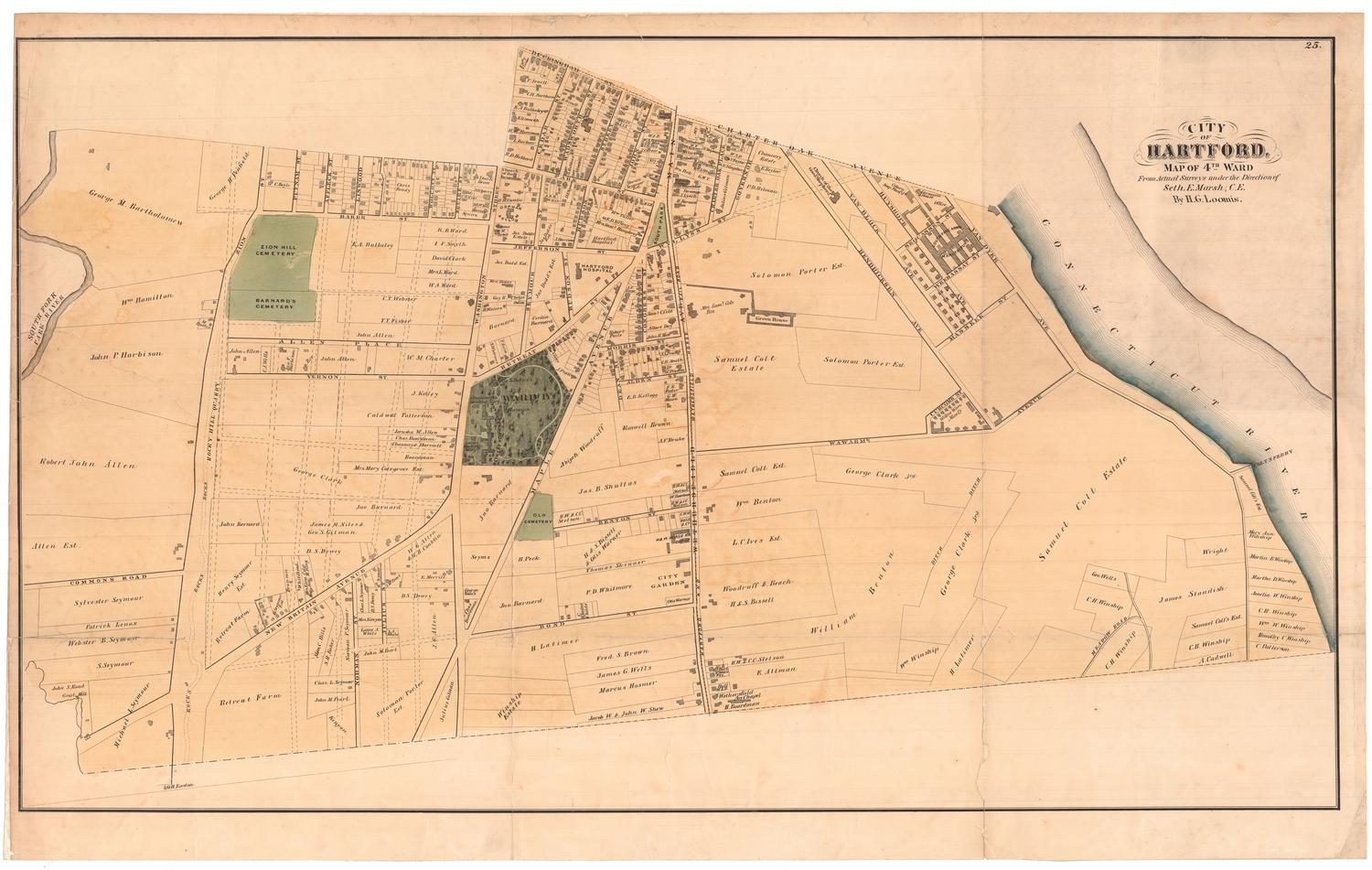
Map Showing Location of Water Pipes
SurveyorSurveyed by
Henry W. Ayres
(American, 1848 - 1912)
DraftsmanDrawn by
Henry W. Ayres
(American, 1848 - 1912)
Date1878
MediumDrawing; black, red, and blue ink on wove paper on fabric
DimensionsPrimary Dimensions (image height x width): 34 1/4 x 46 1/4in. (87 x 117.5cm)
Sheet (height x width): 37 x 49in. (94 x 124.5cm)
ClassificationsGraphics
Credit LineConnecticut Museum of Culture and History collection
Object number1970.27.13
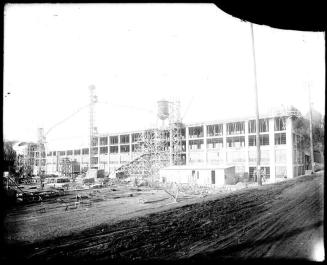
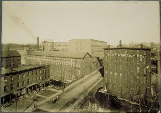
DescriptionMap of a portion of the city of Hartford, Connecticut, extending from Masseek Street on the south to a block beyond Sequassen Street on the north, and from Van Dyke Avenue on the east to Hendricxson Avenue on the west. Water pipes are shown in blue and red, with dimensions given. Hydrants are shown in black. The location of an "iron well under depot" and a "stone well near river" are shown. Labeled buildings include a soap factory, a boarding house, a barn, a blacksmith shop, a planing mill, an office, a paint shop, a cartridge shop, a proving house, and a brass foundry. The location of boilers, presumably in the Colt Firearms Manufactory, are indicated. Buildings along Van Block Street and Huyshope Avenue are company housing for the Colt Firearms Manufactory.
Label TextWhen Samuel Colt built his firearms factory in the South Meadows in Hartford, Connecticut in the 1850s, all the water for the works was drawn from the Connecticut River using Colt's own pumps and water pipes. The Hartford Water Works began laying pipes in the same area during the 1850s, but for many years there was no connection between the two and the Colt Factory continued to draw its own water from the river. This plan, showing the two sets of water pipes, was drawn by an engineer with the Hartford Water Works in 1878.
NotesCartographic Note: 1 inch equals 40 feetStatus
Not on view
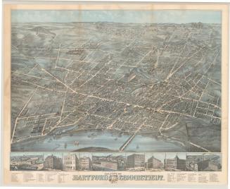
O.H. Bailey and Company