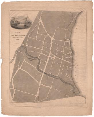
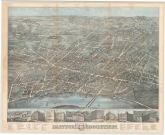
Map of the Third Ward, Hartford, Connecticut
MakerMade by the
Hartford Water Company
(American, founded 1851)
Date1866
MediumDrawing; black, blue, and red ink on wove paper on fabric
DimensionsPrimary Dimensions (image height x width): 46 x 76in. (116.8 x 193cm)
Sheet (height x width): 47 3/4 x 77 3/4in. (121.3 x 197.5cm)
Sheet (height x width): 47 3/4 x 77 3/4in. (121.3 x 197.5cm)
ClassificationsGraphics
Credit LineConnecticut Museum of Culture and History collection
DescriptionMap of part of the city of Hartford with the Park River to the north, the Connecticut River to the east, and Charter Oak Avenue, Buckingham Street, and Park Street to the south. Water mains, shown in blue, run along Sheldon Street, Woodbridge Street, Governor Street, Treat Street, Main Street, Linden Street, College Street, part of West Street, Clinton Street, Trinity Street, Lafayette Street, Washington Street, and part of Park Street. Seven bridges across the Park River are shown. Trinity College and Charter Oak Hall are shown. Arrows indicate the magnetic meridian and the direction of flow of the Connecticut River. The locations of hydrants and stop cocks are indicated.
Object number1970.27.3
NotesCartographic Note: One inch equals 125 feetOn View
Not on view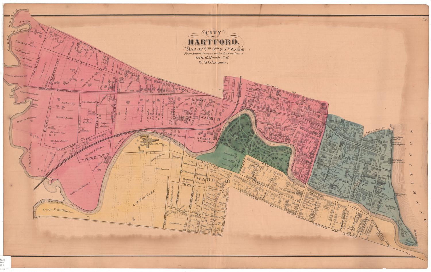
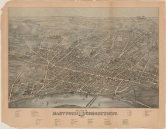
O.H. Bailey and Company