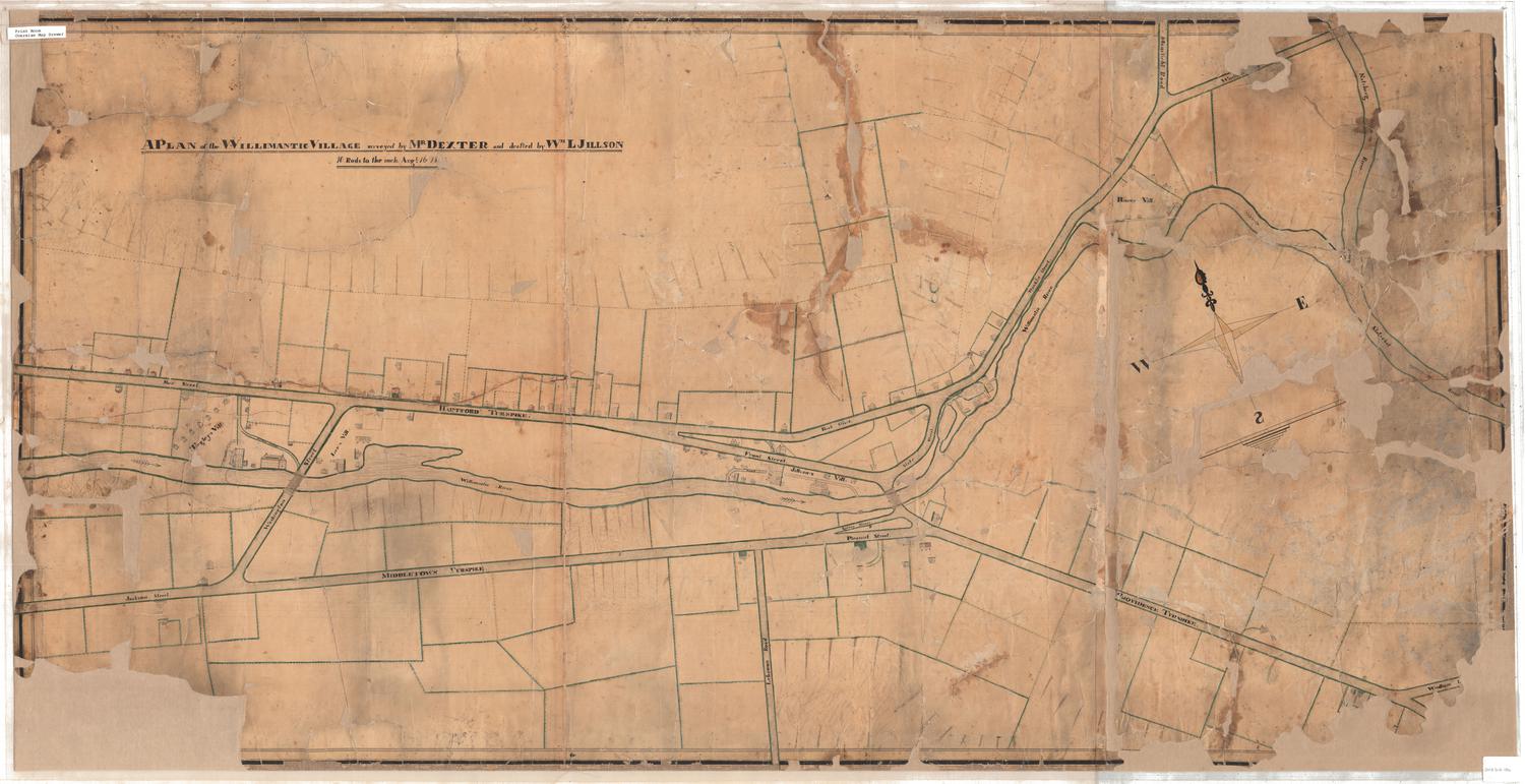
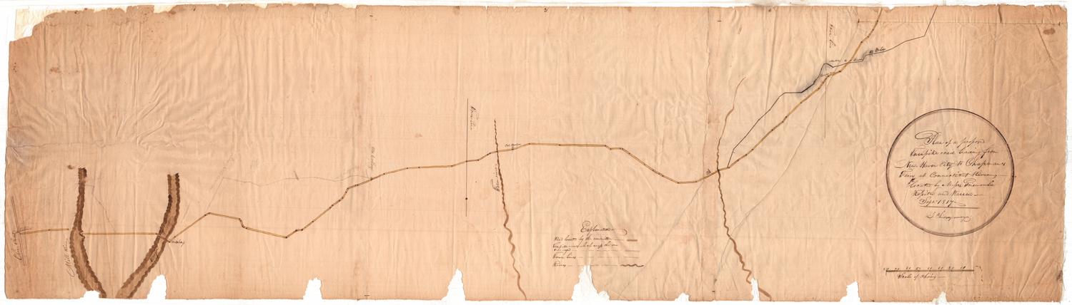
Map of Lower Village, Willimantic, Connecticut
SurveyorSurveyed by
William Lester Jr.
DraftsmanDrawn by
William Lester Jr.
Date1835
MediumDrawing; graphite, black ink, and watercolor on wove paper on fabric
DimensionsPrimary Dimensions (image height x width): 43 3/4 x 26in. (111.1 x 66cm)
Sheet (height x width): 44 3/4 x 27in. (113.7 x 68.6cm)
ClassificationsGraphics
Credit LineGift of Mrs. George Nichols
Object number1985.212.2
DescriptionPlan of the village of Willimantic on the Willimantic River. Buildings include a sawmill, a paper mill, and a grist mill, and other unidentified buildings. A quarry on the south side of the river, near the Jillson property is inscribed, "This stone is gneiss. It is durable, strong, and / easily dressed, and a beautiful material for / building. It is found here in inexhaustible / quantities." A bridge crosses the river near the quarry. The turnpikes to Hartford and to Middletown are labeled. Another road is labeled "Proposed Road" and another road is labeled "Union Street." Arrows at lower left indicate true north and magnetic north.
Label TextThis map is one of series of manuscript maps documenting the early development of the Willimantic, Connecticut, just before its development as a textile manufacturing center. This map is very similar to a second map, also drawn by William Lester and also dated 1835. It differs chiefly in the prominence that it gives to a formation of gneiss on the south side of the river. "Willimantic gneiss" was and remains widespread throughout the area, and stone from local quarries would be used for many of the dams and factories soon to be built in the burgeoning mill village of Willimantic.
NotesCartographic Note: One inch equals 4 rodsStatus
Not on view


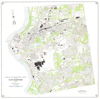
Metropolitan District Commission
1972