
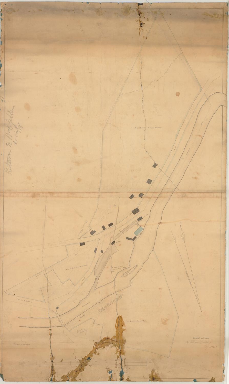
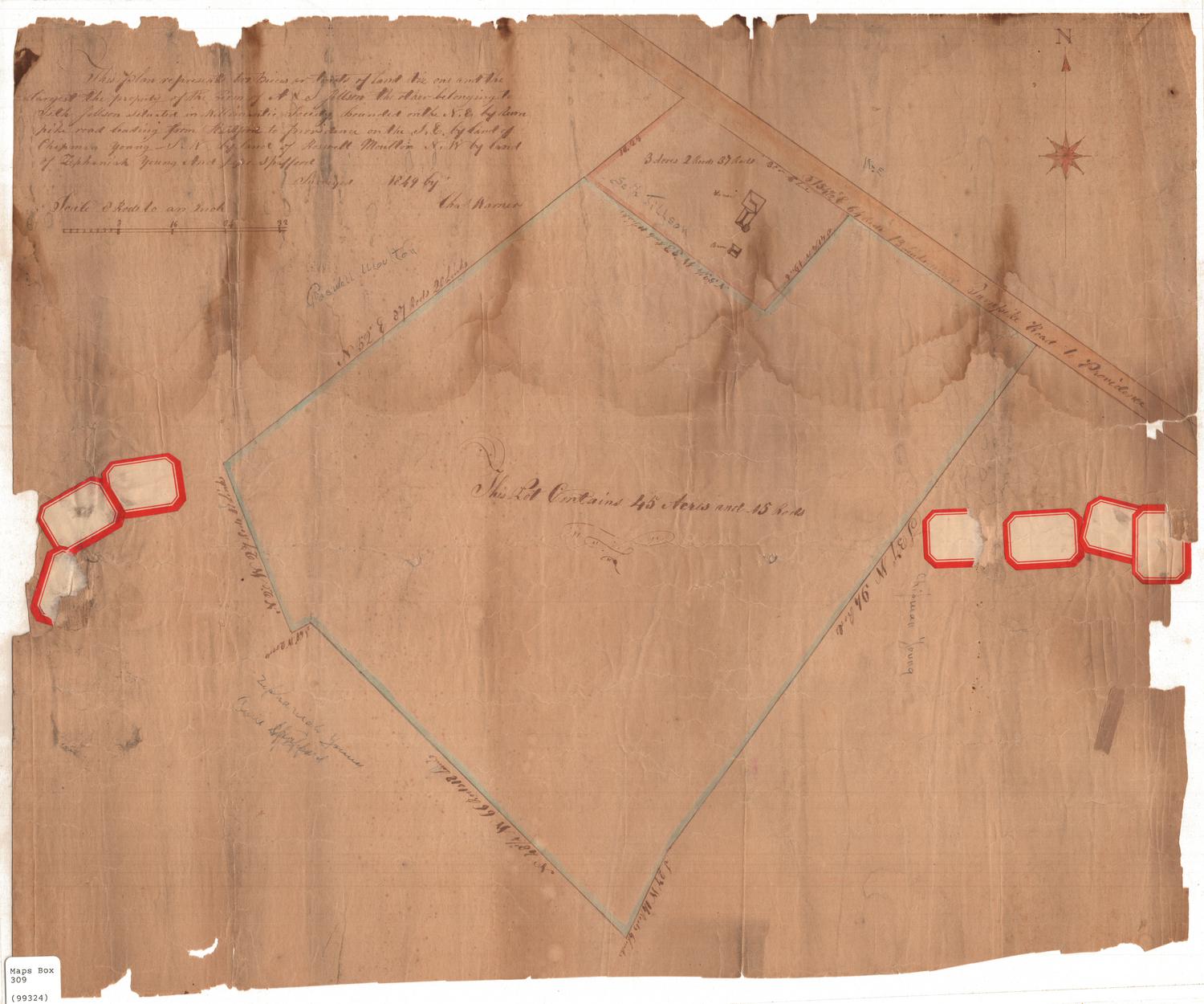
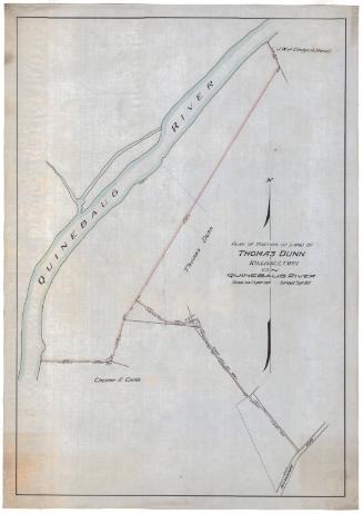
Map of Willimantic, Connecticut
SurveyorSurveyed by
William Lester Jr.
Date1835
MediumDrawing; ink, pencil, and watercolor on wove paper
DimensionsPrimary Dimensions (image height x width): 24 1/4 x 37 5/8in. (61.6 x 95.6cm)
Sheet (height x width): 26 1/4 x 39 1/2in. (66.7 x 100.3cm)
Sheet (height x width): 26 1/4 x 39 1/2in. (66.7 x 100.3cm)
ClassificationsGraphics
Credit LineGift of Mrs. George Nichols
DescriptionMap of the Willimantic River and the mill village of Willimantic. The turnpike to Hartford, a bridge across the river, other existing roads and a proposed road are shown. Buildings include a saw mill, gristmill, and paper mill. A large rock in the river is labeled "Rock." The dimensions of three plots of land are given. On one of these plots the name "John Moulton" is inscribed in pencil. The names "Ulysses Young" and "W. C. Jillson" appear on two additional plots. A compass indicating true north and magnetic north is at lower left.
Object number1985.212.1
NotesCartographic Note: No scaleOn View
Not on view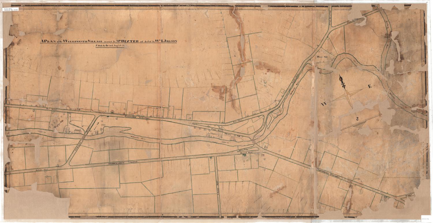

Erastus Worthington
1907