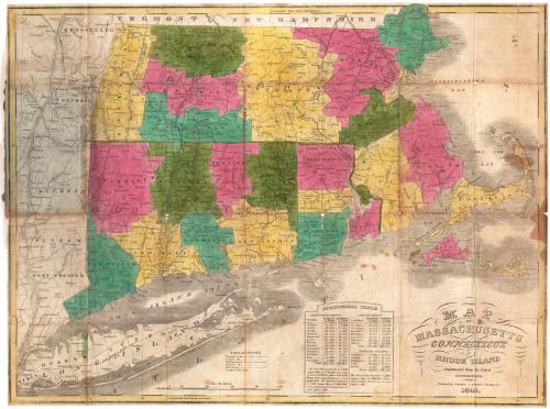
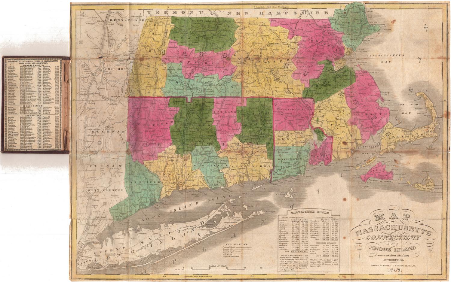
Map of Massachusetts, Connecticut and Rhode Island, Constructed from the Latest Authorities
PublisherPublished by
Brown and Parsons
(American, 1838 - 1851)
Date1845
MediumEngraving; black printer's ink and watercolor on wove paper, in cardboard covers
DimensionsPrimary Dimensions (image height x width): 15 x 20in. (38.1 x 50.8cm)
Sheet (height x width): 15 1/8 x 20 1/8in. (38.4 x 51.1cm)
ClassificationsGraphics
Credit LineMuseum purchase
Object number1987.285.0
DescriptionPocket map of Massachusetts, Connecticut and Rhode Island, with parts of Vermont and New Hampshire to the north, Massachusetts and Cape Cod Bays to the east, Long Island and the Long Island Sound to the south, and part of New York State to the west. The states are divided into counties, colored green, blue, yellow or pink. The map shows transportation routes: main roads, local roads, existing and proposed canals, and existing and proposed railroads are depicted with different types of lines. The Farmington, Hampshire and Hampden, Blackstone, and Nashua Canals are on the map. Proposed railroad routes include one along the Housatonic River; between New Haven and Springfield, Massachusetts;between Norwich, Connecticut and Worcester, Massachusetts; and between Stonington, Connecticut, and Boston. The proposed line of the Western Railroad, between Hudson, New York, and Worcester, Massachusetts, is also shown. Physical features depicted include elevation, conveyed through hachure marks; rivers; and lakes. A county population table for 1820 and 1830 is below the map, and population information for the towns in each state is on the inside cover.
Label TextIt sometimes seems like everyone in Hartford, Connectciut in the 1830s and 1840s was getting into the publishing business. Brown & Parsons were successful Hartford booksellers and stationers who occasionally published a few books on their own. They also published some maps, most of them folding pocket maps, like this 1845 pocket map of Massachusetts, Connecticut and Rhode Island. This map was printed from the plate originally issued by Anthony Finley in 1826 and later re-issued by S. Augustus Mitchell. It must have sold well, because Brown & Parsons re-issued it themselves in 1845 and 1847 and possibly in other years.
NotesCartographic Note: Scale: 1 inch equals about 9 milesStatus
Not on viewH. F. Sumner & Co.
1833


