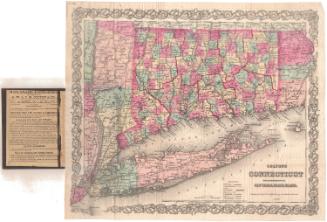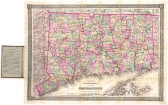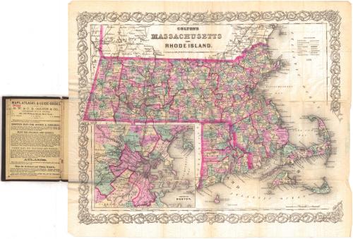
Colton's Massachusetts and Rhode Island
PublisherPublished by
G.W. & C.B. Colton & Co.
(American, founded 1865)
After a work byAfter a work by
J. H. Colton & Co.
(American, founded 1831)
Date1884
MediumLithography; black printer's ink and watercolor on wove paper, in cardboard covers
DimensionsPrimary Dimensions (image height x width): 12 1/2 x 15 3/4in. (31.8 x 40cm)
Sheet (height x width): 14 x 16 7/8in. (35.6 x 42.9cm)
Sheet (height x width): 14 x 16 7/8in. (35.6 x 42.9cm)
ClassificationsGraphics
Credit LineGift of Charles P. Welles
DescriptionMap of Massachusetts and Rhode Island, with Vermont and New Hampshire to the north, the Atlantic Ocean to the east, and Connecticut to the south. The states are divided into counties outlined in red; and towns, colored pink, yellow or green. There is an inset map of Boston and vicinity in the lower left corner. Railroad and canal routes and common roads are noted as being depicted with different lines in the Explanation, although no canals seem to appear on the map. Railroads include: Pittsfield and North Adams; Western; Connecticut River; New London and Willimantic; Vermont and Massachusetts; Cheshire; New York and New England; Nashua and Worcester; Worcester and Fitchburg; New York and Boston Air Line; Stonington; Bedford and Taunton; Providence; Cape Cod; Old Colony; and Boston and Lowell. The inset map of Boston shows more of area railroads, including Grand Junction, Massachusetts Central, West Cambridge and Lexington, and Saugus. Physical features on the map include elevation, conveyed through hachure marks; rivers; islands; and lakes.
Object number1928.9.1
NotesCartographic Note: Scale: 3/8 inch equals 5 milesOn View
Not on view