Geographisch-statistische und historische Charte von Connecticut
PrintmakerEngraved by
Carl Ferdinand Weiland
(German, 1782 - 1847)
After a work byAfter a work by
Fielding Lucas Jr.
(American, 1781 - 1854)
PublisherPublished by
Geographisches Institut (Weimar, Thuringia, Germany)
(German, founded 1804)
Date1825
MediumEngraving; printer's ink and watercolor on wove paper
DimensionsPrimary Dimensions (image height x width): 14 x 20 5/8in. (35.6 x 52.4cm)
Sheet (height x width): 23 3/4 x 28 3/8in. (60.3 x 72.1cm)
ClassificationsGraphics
Credit LineGift of Ward W. Jacobs
Object number1912.6.1
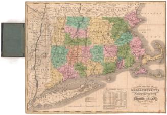
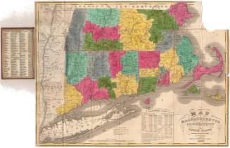
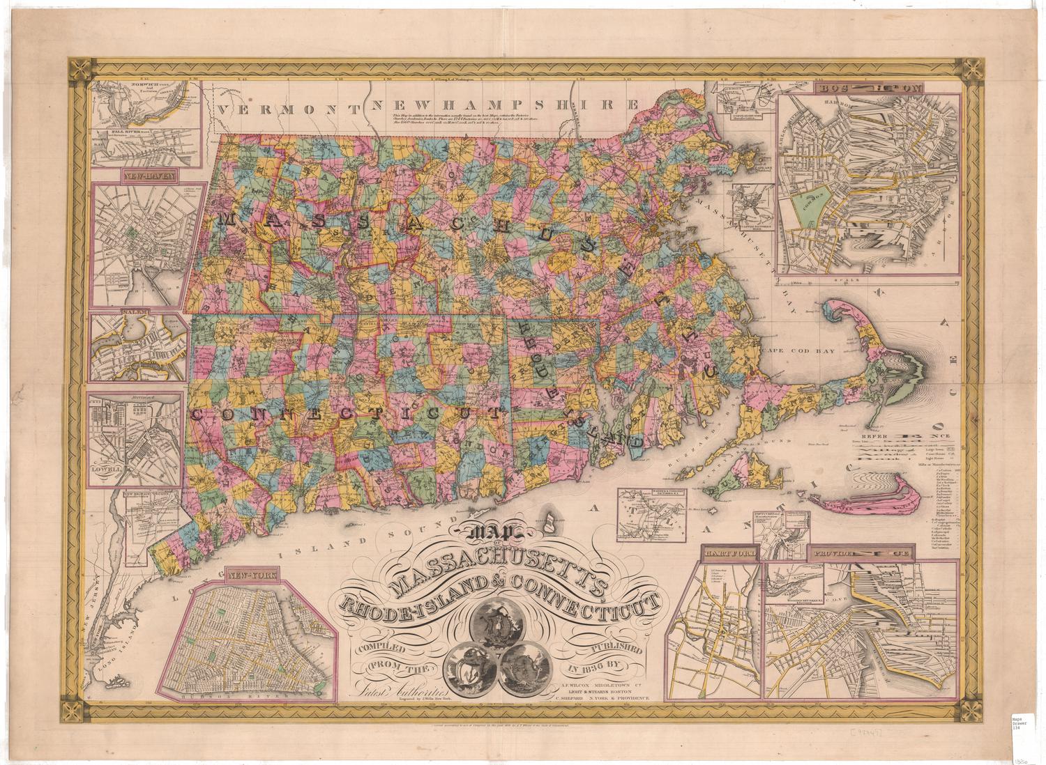
DescriptionMap of Connecticut, with New York to the west, Massachusetts to the north, Rhode Island to the east, and Long Island Sound and Long Island to the south. Towns, counties, some rivers, and some roads are shown. The map is surrounded by a long descriptive text in German.
Label TextThe German mapmaker Carl Ferdinand Weiland based his map of Connecticut on Lucas Fielding's Geographical, Statistical, and Historical Map of Connecticut which was included in an atlas published by Carey & Lea in Philadelphia in 1822. Not surprisingly, Weiland's version, published in 1825, does not include the towns of Chaplin, Manchester, Monroe, and Orange, which were added during the intervening three years. The publication of such an ambitious atlas in Germany suggests substantial interest in America must have existed at that time.
NotesCartographic Note: 15 miles to a degreeStatus
Not on view