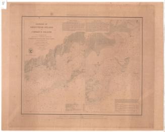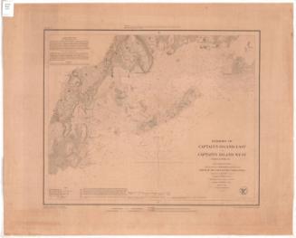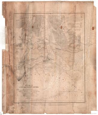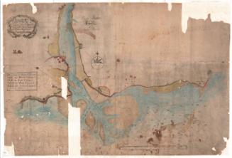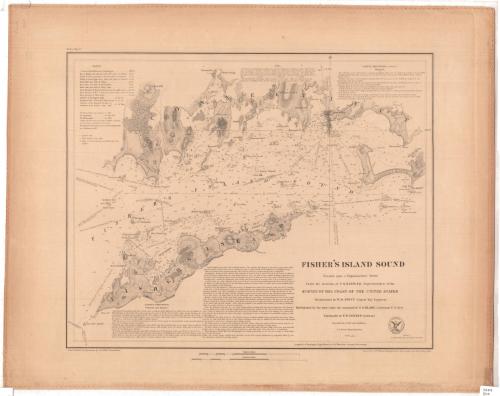
Fisher's Island Sound
PublisherPublished by
United States Coast Survey
(American, founded 1807)
SurveyorUnder the direction of
Ferdinand Rudolph Hassler
(American, 1770 - 1843)
SurveyorTriangulation by
William Harrison Swift
(American)
MakerHydrography under the direction of
George S. Blake
(American, 1802 - 1871)
SurveyorTopography by
Ferdinand H. Gerdes
(German-American, 1809 - 1884)
DraftsmanDrawn by
John B. Gluck
(American, died 1852)
PrintmakerEngraved by
John Peter Van Ness Throop
(American, 1794 - 1860)
Date1847
MediumEngraving; printer's ink on wove paper
DimensionsPrimary Dimensions (image height x width): 14 x 17 1/4in. (35.6 x 43.8cm)
Sheet (height x width): 18 1/4 x 23in. (46.4 x 58.4cm)
Sheet (height x width): 18 1/4 x 23in. (46.4 x 58.4cm)
ClassificationsGraphics
Credit LineMuseum purchase
DescriptionChart of Fisher's Island Sound and surrounding landmasses with Fort Hill, Portersville, Mystic Bridge, Palmer's Hill, and Stonington to the north; Napatree Point and Watch Hill, Rhode Island to the east; Fisher's Island to the south, and Seaflower Reef and Potter's Reef to the east. Lighthouses and a light ship are shown. Soundings are given in feet up to eighteen feet and then in fathoms. The chart is surrounded by extensive notes and sailing directions. Scales of statute miles and nautical miles are at lower center.
Object number1961.105.2
NotesCartographic Note: One and a half inches equals one mileOn View
Not on view