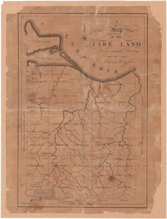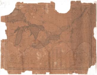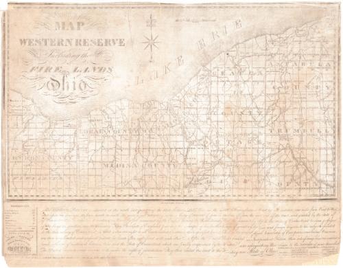
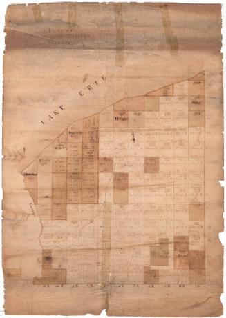
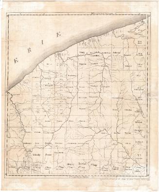
Map of the Western Reserve including the Fire Lands in Ohio
PrintmakerEngraved by
William Savory
PublisherPublished by
Allen Taylor
Date1833
MediumEngraving; black printer's ink on laid paper, lined with paper
DimensionsPrimary Dimensions (image height x width): 12 1/8 x 20 1/2in. (30.8 x 52.1cm)
Sheet (height x width): 16 x 20 3/4in. (40.6 x 52.7cm)
Mount (height x width): 16 x 20 3/4in. (40.6 x 52.7cm)
Sheet (height x width): 16 x 20 3/4in. (40.6 x 52.7cm)
Mount (height x width): 16 x 20 3/4in. (40.6 x 52.7cm)
ClassificationsGraphics
Credit LineConnecticut Museum of Culture and History collection
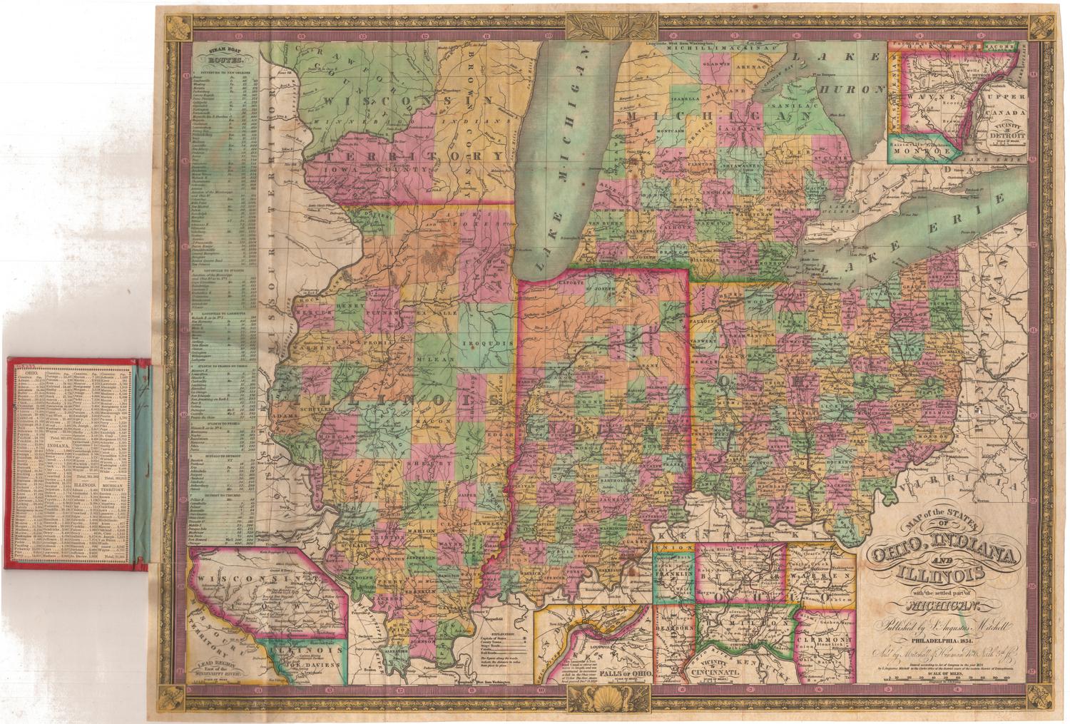
DescriptionMap of the Western Reserve and Firelands in Ohio, with Lake Erie to the north. Huron, Lorain, Medina, Cuyahoga, Geauga, Portage, Ashtabula, and Trumbull counties are depicted. The counties are divided into townships, most of which are labeled. Range numbers are also shown. Physical features include rivers, waterfalls, and the lake. Courthouses, meeting houses, colleges, mills, lighthouses, and village are marked with symbols explained in the References list. Below the map is a textual description of the Western Reserve and information about the population of Ohio and the Western Reserve counties.
Object number1996.184.0
NotesCartographic Note: Scale: about 7/8 inch equals 5 milesOn View
Not on view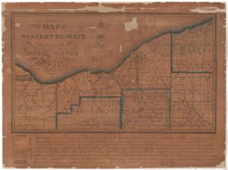
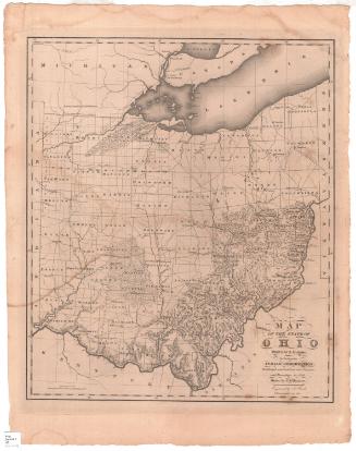
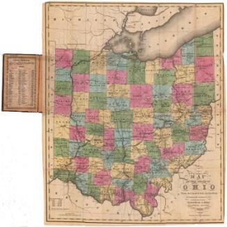
Samuel Augustus Mitchell
1835
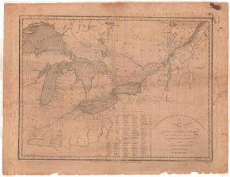
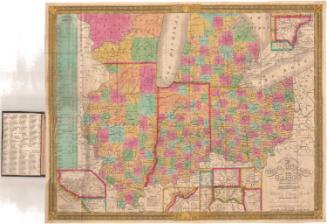
Samuel Augustus Mitchell
1834