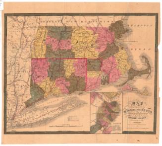
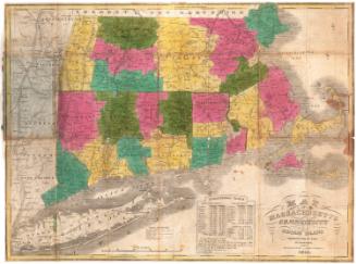
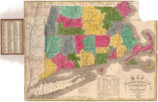
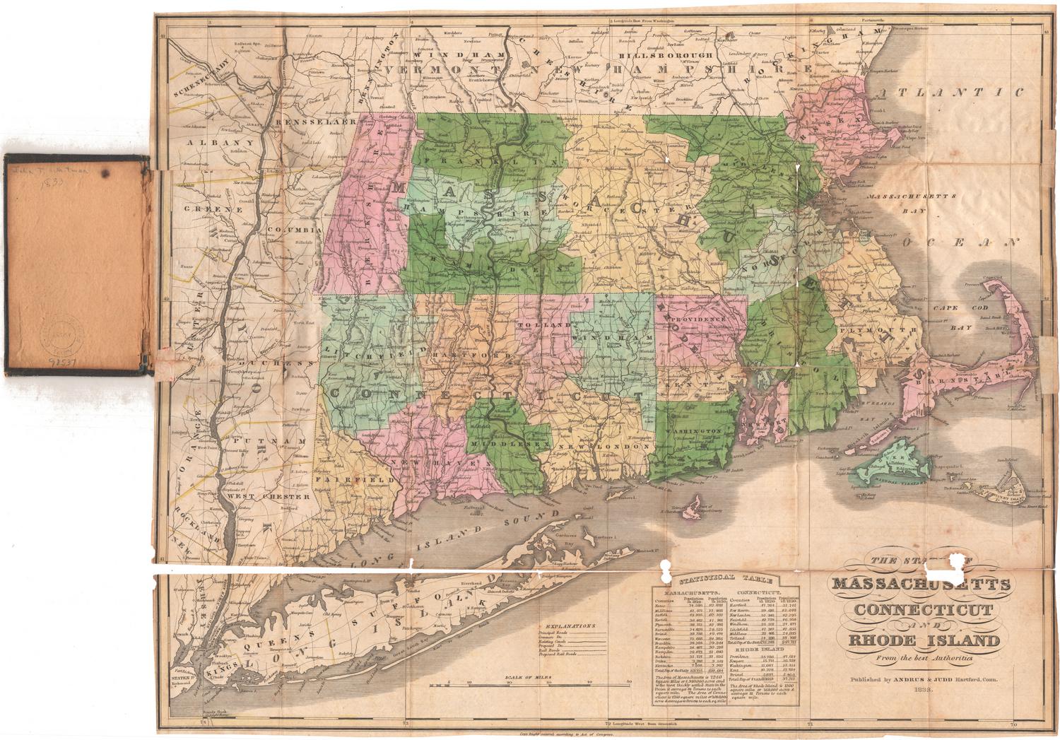
Massachusetts
DraftsmanDrawn by
Unknown
Dateafter 1812
MediumDrawing; black ink and watercolor on paper, mounted on cardboard
DimensionsPrimary Dimensions (image height x width): 6 1/8 x 7 7/8in. (15.6 x 20cm)
Sheet (height x width): 6 5/8 x 8 3/8in. (16.8 x 21.3cm)
Mount (height x width): 6 5/8 x 8 3/8in. (16.8 x 21.3cm)
ClassificationsGraphics
Credit LineConnecticut Museum of Culture and History collection
Object number2007.82.0
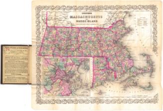
DescriptionMap of Massachusetts, with Vermont and New Hampshire to the north, the Massachusetts Bay to the east, Connecticut and Rhode Island to the south, and New York to the west. The state is divided into 11 counties (Berkshire, Franklin, Hampshire, Hampden, Worcester, Essex, Middlesex, Norfolk, Plymouth, Bristol and Barnstable), with the names of towns appearing in their rough geographic locations. The only physical feature shown is elevation, conveyed with shading.
Label TextGeography was an important part of the nineteenth-century school curriculum, and schoolboys and schoolgirls were expected to memorize a great deal of detailed geographical information about their country and the world. One way that nineteenth-century school children learned geography was by copying printed maps. The young boy or girl who drew this map of Massachusetts probably based the composition on a page in a contemporary atlas.
NotesCartographic Note: No scaleStatus
Not on view