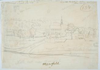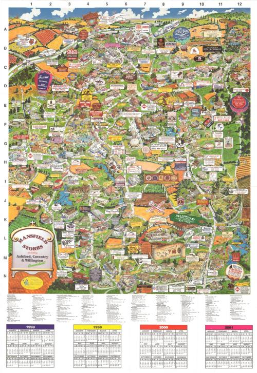
Manfield Storrs including Ashford, Coventry & Willington, Connecticut
PublisherPublished by
Towne Crier Marketing, Inc..
(American, founded 1991)
Date1998
MediumOffset lithography; colored printer's ink on wove paper
DimensionsPrimary Dimensions (image height x width): 30 1/8 x 25 1/2in. (76.5 x 64.8cm)
Sheet (height x width): 39 x 27in. (99.1 x 68.6cm)
ClassificationsGraphics
Credit LineGift of Judd Caplovich
Object number2000.181.0
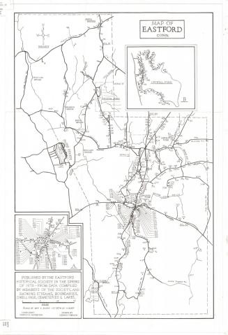
DescriptionBird's-eye view map of Mansfield Storrs, Ashford, Coventry, and Willington, Connecticut, primarily depicting the locations of businesses. The businesses are labeled with a reproduction of their sign. Some residences are depicted, as well as the farm fields that surround the area. At the bottom is a location index, below which are calendars for 1998, 1999, 2000, and 2001.
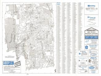
On the back is a street map of Ashford, Coventry, Mansfield and Willington, with inset maps of two areas in Coventry. A third inset map of the surrounding towns is also shown. At the bottom is a street index. At the top is information about The Chamber of Commerce, Inc., seasonal activities in northeastern Connecticut, and short histories of Ashford, Willington, Coventry and Mansfield/Storrs.
On the back is a street map of Ashford, Coventry, Mansfield and Willington, with inset maps of two areas in Coventry. A third inset map of the surrounding towns is also shown. At the bottom is a street index. At the top is information about The Chamber of Commerce, Inc., seasonal activities in northeastern Connecticut, and short histories of Ashford, Willington, Coventry and Mansfield/Storrs.
Label TextMaps such as this one showing the locations of businesses may seem like a modern phenomenon, but such maps have a long history, reaching well back into the nineteenth century, when they were mostly intended as resources for business travelers. In those days, it was assumed that residents would be familiar with local tradesmen and their services, but that those from out-of-town were likely targets for advertising. By the late twentieth century, however, local people were willing to travel long distances in search of quality merchandise or bargains, and such advertising found a wide audience.
NotesCartographic Note: Bird's-eye view, no scale; street map, scale: 1 inch equals .8 mileStatus
Not on view