Plan of the City of New London
PublisherPublished by
Beers, Ellis & Soule
(American, active 1865 - 1868)
Date1868
MediumLithography; black printer's ink and watercolor on wove paper
DimensionsPrimary Dimensions (image height x width): 37 3/4 x 26 1/2in. (95.9 x 67.3cm)
Sheet (height x width): 37 3/4 x 26 3/4in. (95.9 x 67.9cm)
ClassificationsGraphics
Credit LineMuseum purchase
Object number1980.102.1
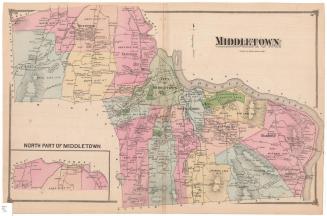
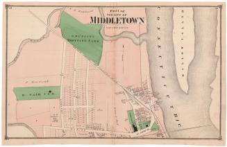
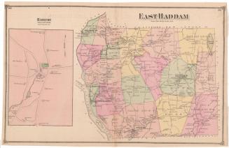
DescriptionMap of New London, Connecticut, from Waterford to the north and west, and the Thames River and New London harbor to the east. The city is divided into five school districts, which are colored yellow, bright pink or light pink, with public spaces appearing in green. Fort Trumbull, cemeteries, parks, the town square, the court house, schools and churches are all colored green. The New London Northern Railroad and Shore Line Railroad run through the city. Streets are labeled and black squares indicating houses are labeled with the owner's name. Some of the buildings are labeled with numbers instead of names, and in the References list in the lower right corner, the names of the owners are provided.
Label TextNew London is clearly a maritime city and a transportation hub in this 1868 map published by Beers, Ellis & Soule in New York City. The Shore Line Railroad and the New London Railroad both lead to the docks, where numerous wharves jut into the harbor, providing connections with the Stonington Railroad and steamboat lines. The wharf at the foot of Douglass Street is specifically identified as the Whaling Dock. Other businesses include shipyards, coal, and lumber yards. Fort Trumbull is an active military installation with batteries, officers' quarters, barracks, and a hospital.
NotesCartographic Note: Scale: 1 inch equals 16 rodsStatus
Not on view