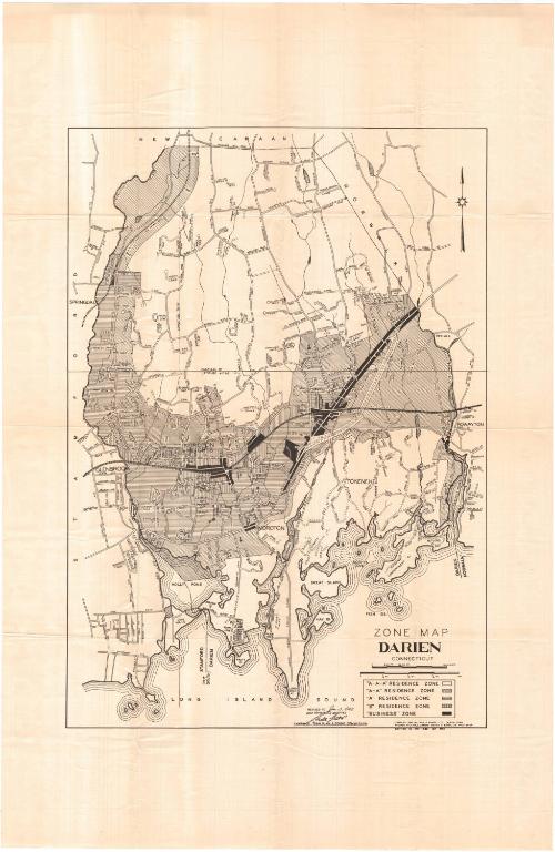
Zone Map, Darien, Connecticut
SurveyorSurveyed by
Charles P. Rumpf
(American, 1887 - 1975)
SurveyorSurveyed by
Walter A. Bates
(American, 1892 - 1980)
Date1952
MediumLithography; black printer's ink on wove paper
DimensionsPrimary Dimensions (image height x width): 27 x 19 1/8in. (68.6 x 48.6cm)
Sheet (height x width): 38 x 25in. (96.5 x 63.5cm)
Sheet (height x width): 38 x 25in. (96.5 x 63.5cm)
ClassificationsGraphics
Credit LineGift of the Arizona Historical Society
DescriptionMap of Darien, Connecticut, with New Canaan to the north, Norwalk to the east, the Long Island Sound to the south, and Stamford to the west. The map shows five different zones: A-A-A residence zone, A-A residence zone, A residence zone, B residence zone, and business zone. The zones are denoted with lines running in different directions. Streets are labeled. The New York, New Haven and Hartford Railroad runs through the town. On the back are the zoning regulations for Darien for 1952.
Object number2003.339.0
NotesCartographic Note: Scale: 1 1/8 inches equals 1/4 mileOn View
Not on view
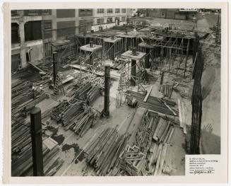
Hartford-Empire Co.