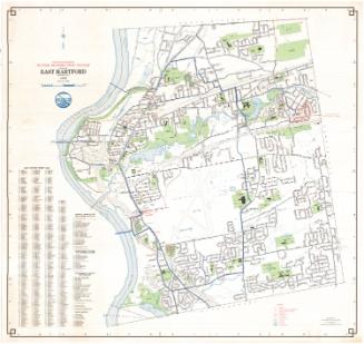
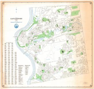
Town of East Hartford, Connecticut
MakerPrepared by
Metropolitan District Commission
(American, founded 1929)
Date1995
MediumLithography; black and colored printer's inks on wove paper
DimensionsPrimary Dimensions (image height x width): 30 1/2 x 32in. (77.5 x 81.3cm)
Sheet (height x width): 30 3/4 x 32 1/2in. (78.1 x 82.6cm)
ClassificationsGraphics
Credit LineConnecticut Museum of Culture and History collection
Object number2012.312.245
DescriptionMap of East Hartford, Connecticut, from the town line of South Windsor to the north, Manchester to the east, Glastonbury to the south, and the Connecticut River to the west. The local roads are depicted and labeled, and schools, parks, cemeteries, golf courses, and "open spaces" are colored green, with water, including the Hockanum River, Keeney Cove, and Porter Brook, depicted in blue. The Interstate 84 / Route 2 interchange is prominent. To the left of the map are a street index; a list of schools, libraries and other educational facilities; a list of government office; a list of recreational, cultural and historical places; and a miscellaneous list containing the locations of cemeteries, bridges and other open spaces. A compass is at upper left.
Label TextWhen the town of East Hartford joined the Metropolitan District Commission in 1941, it was the first town east of the Connecticut River to do so. Like all member towns, it was required to turn over all of its existing water and sewer systems when it joined the Commission. In the case of East Hartford, this included a six-hundred acre tract in Glastonbury near the junction of Hebron Avenue and Keeney Street, which had belonged to the East Hartford Fire District When the Metropolitan Districted wanted to sell the land in 1994, East Hartford objected, claiming ownership. Despite minor disputes such as this, the regional approach to providing water and sewerage services has been generally successful in central Connecticut.
NotesCartographic Note: 1 inch equals 1000 feetStatus
Not on view
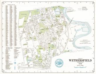
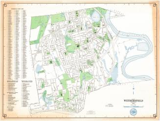
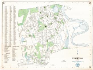


Metropolitan District Commission
1972