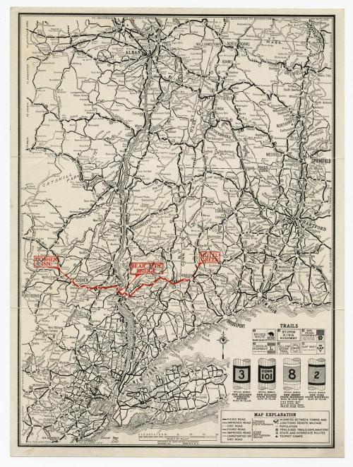
Hotel Green via the Bear Mountain Bridge Route
PublisherPublished by
Rand, McNally & Co.
(American, founded 1868)
Dateafter 1924
MediumLithography; black and red printer's ink on wove paper
DimensionsPrimary Dimensions (image height x width): 11 5/8 x 8 1/2in. (29.5 x 21.6cm)
Sheet (height x width): 12 1/8 x 9in. (30.8 x 22.9cm)
Sheet (height x width): 12 1/8 x 9in. (30.8 x 22.9cm)
ClassificationsGraphics
Credit LineMuseum purchase
DescriptionMap of southeastern New York State, from Albany to New York City; northeastern New Jersey; western Massachusetts; and western Connecticut. Highways are prominently depicted in black, with a red line marking what is referred to as the Bridge Route, part of which crosses the Hudson River at Bear Mountain Bridge and continues into Connecticut, where the Hotel Green is located in Danbury. The Goshen Inn is shown on the other side of the route, in Goshen, New York. Six "Trails" are marked with white-on-black numbers: the Bridge Route (1), Lincoln Highway (2), Storm King Highway (3), Yellow Stone Trail (4), William Penn Highway (9), and Gap Way (19). The road markers used to denote New England interstate and state routes, New Jersey state highways and New York state highways are shown below the list of trails. Physical features depicted are rivers, ponds and lakes. On the back is information about Hotel Green and the Bear Mountain Bridge.
Object number2007.80.0
NotesCartographic Note: Scale: 1 1/16 inches equals 15 miles
Date Note: This map probably dates from between 1924, when the Bear Mountain Bridge opened, and 1934, when the Hotel Green went bankrupt during the Great Depression.On View
Not on view


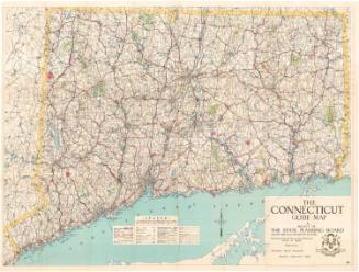
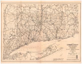
Connecticut State Highway Department
1927

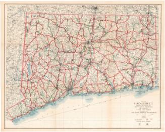
Connecticut State Highway Department
1930