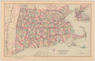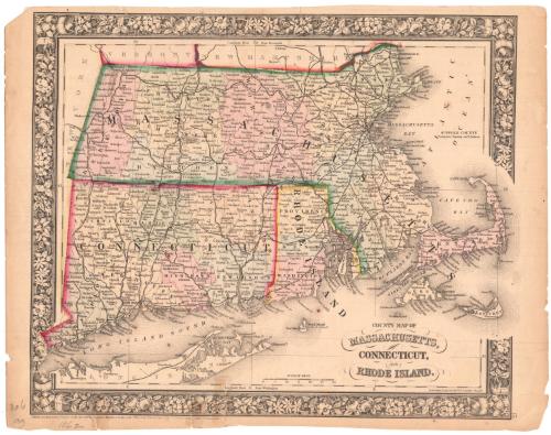
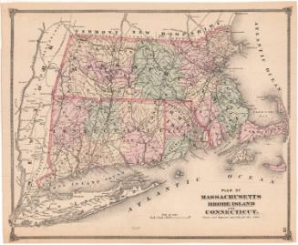
County Map of Massachusetts, Connecticut, and Rhode Island
DraftsmanDrawn by
William Henry Gamble
(American, active 1867 - 1887)
PrintmakerEngraved by
William Henry Gamble
(American, active 1867 - 1887)
Date1862
MediumLithography; black printer's ink and watercolor on wove paper
DimensionsPrimary Dimensions (image height x width): 11 3/8 x 13 5/8in. (28.9 x 34.6cm)
Sheet (height x width): 12 x 15 1/4in. (30.5 x 38.7cm)
Sheet (height x width): 12 x 15 1/4in. (30.5 x 38.7cm)
ClassificationsGraphics
Credit LineMuseum purchase
DescriptionMap of the states of Massachusetts, Connecticut and Rhode Island, from the borders of Vermont and New Hampshire to the north, the Atlantic Ocean to the east, Long Island and the Long Island Sound to the south, and New York to the west. The counties are outlined in broken solid lines and colored pink, blue, yellow or green. Cities are marked with open circles, with capital cities denoted with closed black circles. Natural features depicted include elevation, conveyed with hachure marks, rivers, lakes and islands.
Object number1949.18.0
NotesCartographic Note: Scale: 1 inch equals 15 miles
Medium Note: Despite the fact that this print is signed by engraver, it is actually a transfer lithograph. During this period, lithography was rapidly replacing engraving as the primary means of reproducing maps.On View
Not on view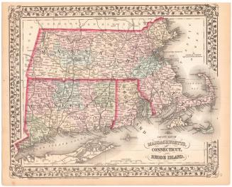

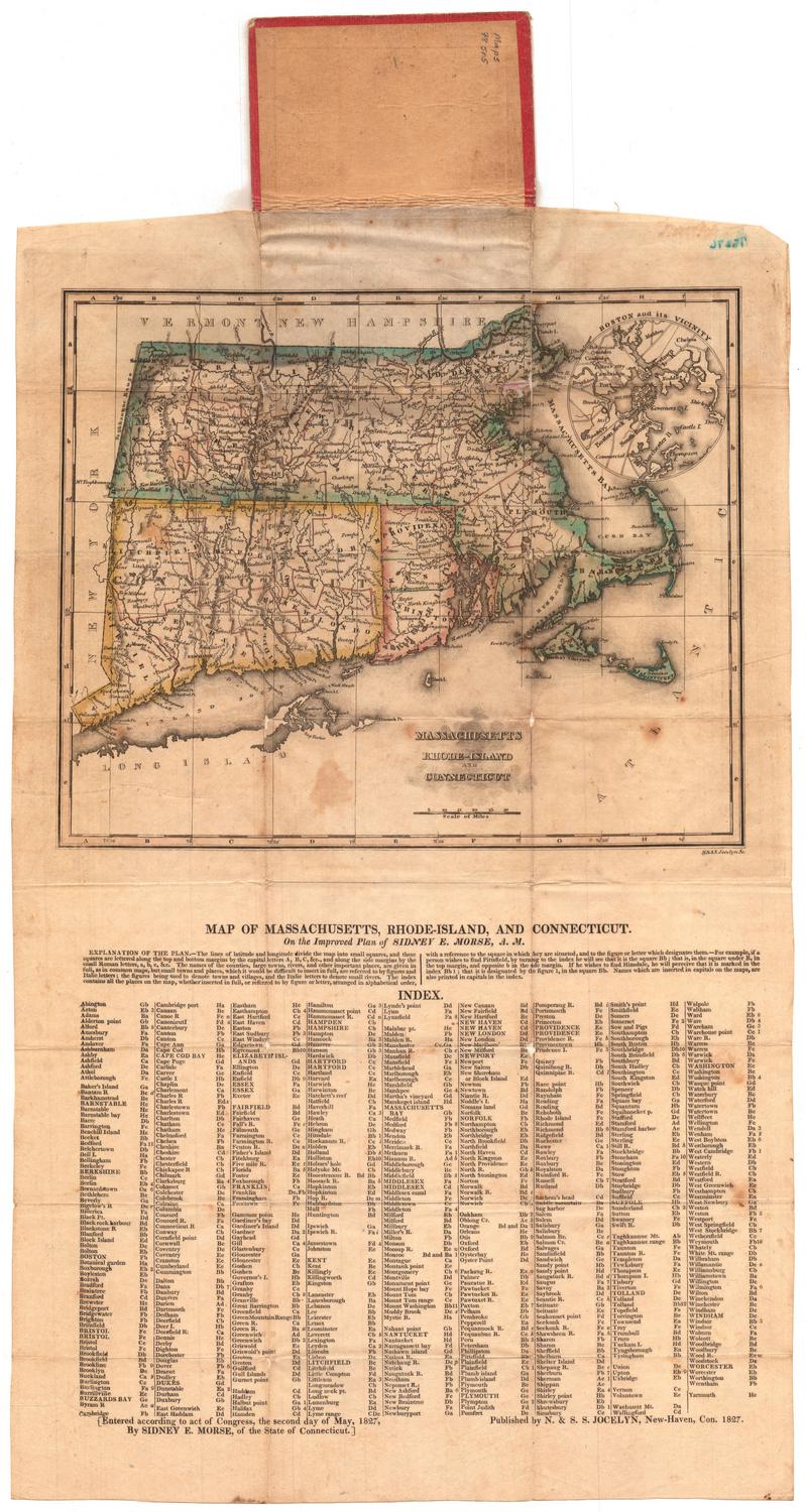


H. F. Sumner & Co.
1833
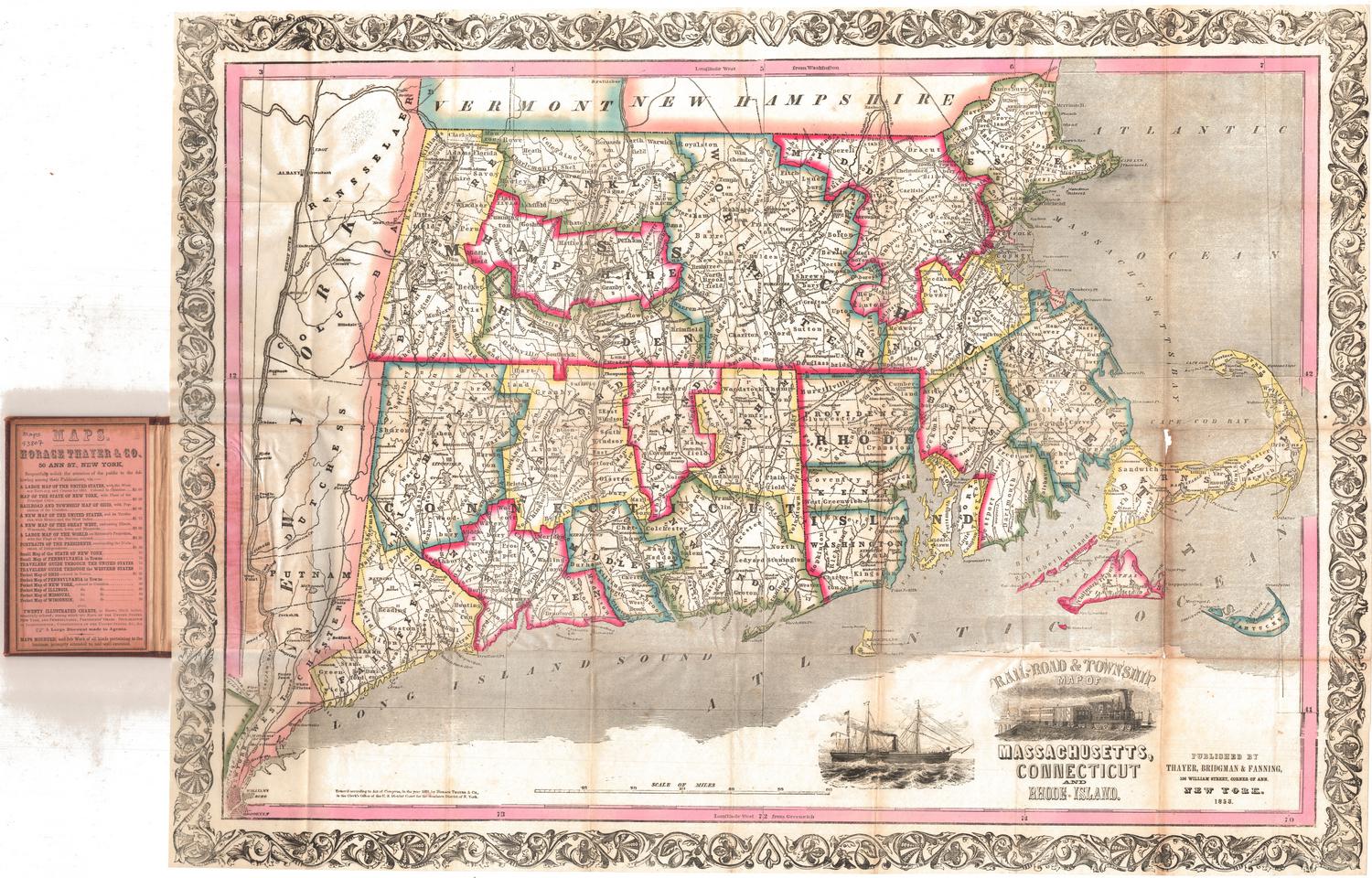
Thayer, Bridgman & Fanning
1853