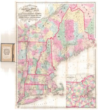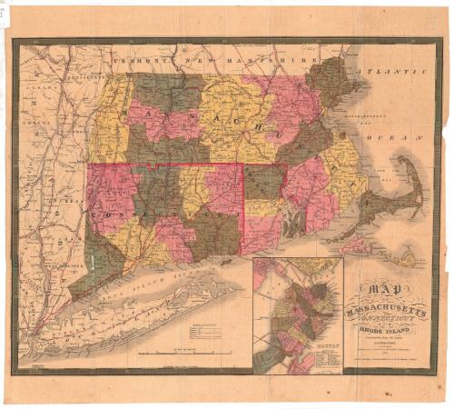
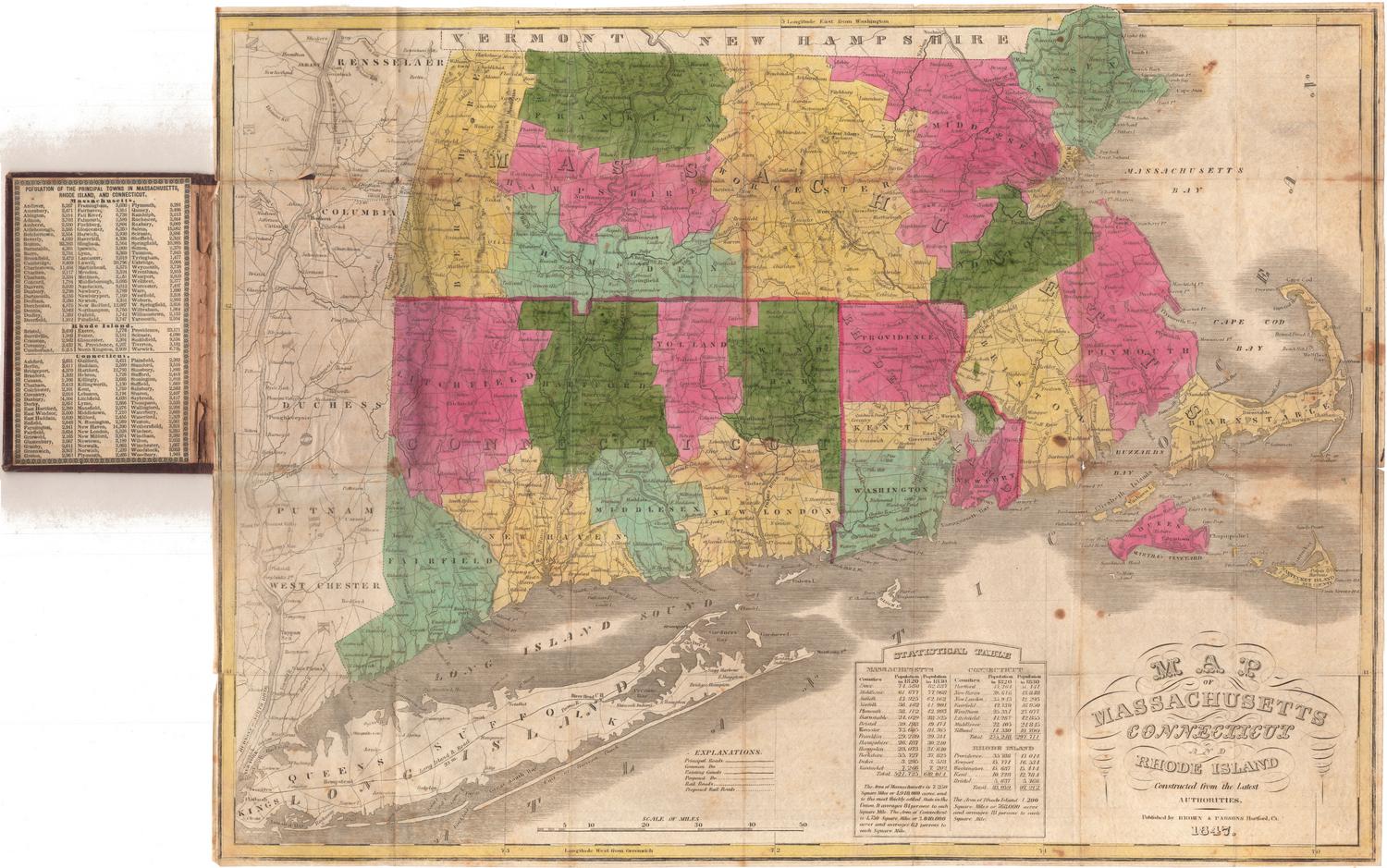
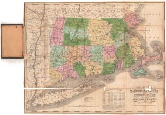
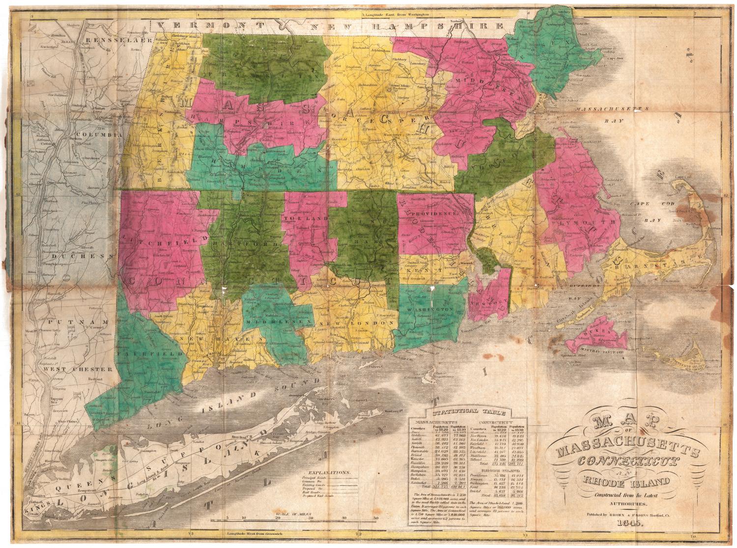
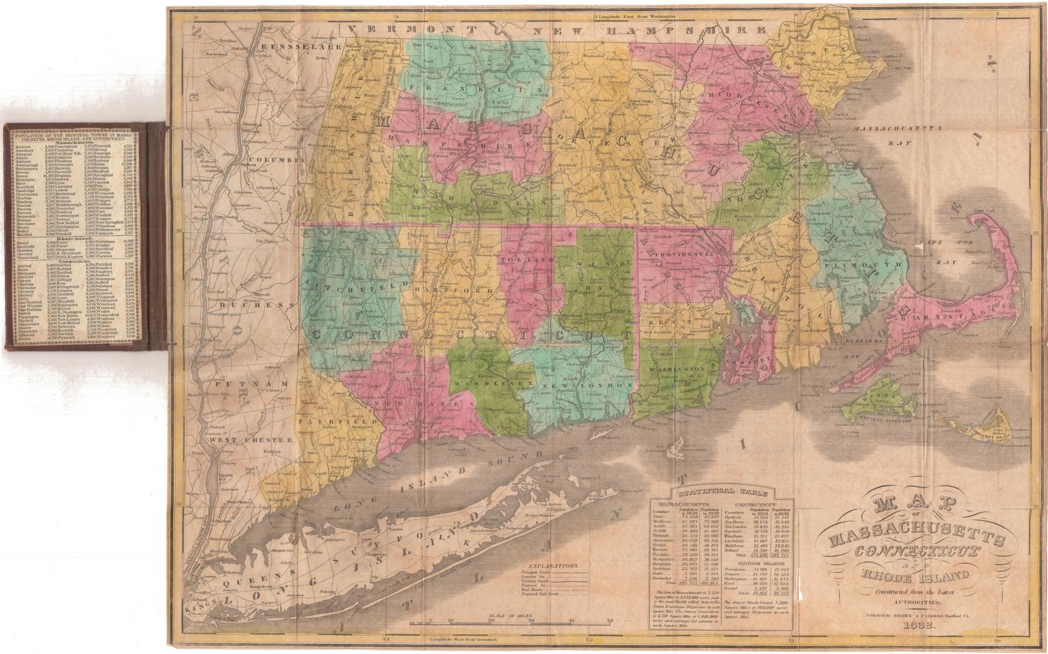
Map of Massachusetts, Connecticut and Rhode Island
PublisherPublished by
Samuel Augustus Mitchell
(1792 - 1868)
RetailerSold by
Thomas, Cowperthwait & Co.
(American, 1849 - 1854)
Date1847
MediumLithography; black printer's ink and watercolor on wove paper
DimensionsPrimary Dimensions (image height x width): 17 1/4 x 21 5/8in. (43.8 x 54.9cm)
Sheet (height x width): 20 1/4 x 22 3/8in. (51.4 x 56.8cm)
ClassificationsGraphics
Credit LineMuseum purchase
Object number1953.72.0
DescriptionMap of Massachusetts, Connecticut and Rhode Island, with Vermont and New Hampshire to the north, the Atlantic Ocean to the east, Long Island and the Long Island Sound to the south, and New York to the west. Counties are delineated with broken solid lines and are colored pink, yellow or green. Towns are delineated with thin dotted lines. Smaller cities are marked with open circles and larger ones with closed circles. An inset map of Boston appears to the left of the cartouche, showing the locations of 20 notable buildings; various public buildings; and places of worship. Various methods of transportation are depicted, including principal roads, common roads, existing canals, proposed canals, railroads and proposed railroads.
The railroads shown include the New York and New Haven (existing); Hudson River (proposed); New York and Harlem (proposed); Albany and Stockbridge (existing); Housatonic (existing); Western (existing); New York and Boston (proposed); New Haven and Springfield (existing); what is probably the New London, Willimantic and Palmer (proposed); Norwich and Worcester (existing); Stonington (existing); Worcester (existing); Vermont and Massachusetts (existing); Fitchburg (existing); Boston and Lowell (existing); Boston and Maine (existing); Old Colony (existing); Fall River (existing); and Eastern (existing). The Farmington; Hampshire and Hampden; and Blackstone are the existing canals shown. A proposed canal leading to Taunton, Massachusetts, is also depicted.
Physical features depicted include elevation, conveyed with clusters of peaks; lakes; and islands.
Label TextAlthough this map from the New Universal Atlas is dated 1847, it was probably published in 1850 or later. In that year, Thomas, Cowperthwaite & Company, whose imprint has been added to it, purchased the copyright to the New Universal Atlas from S. Augustus Mitchell (who had obtained the copyright from Carey & Hart, who had obtained it from H. S. Tanner). All four firms were Philadelphia publishers involved in the production of atlases for popular consumption. The fact that this atlas went through so many editions, and was reprinted by so many times in the space of just a few years suggests that there was a great demand for material of this type. The New Universal Atlas would continue to be reprinted throughout the 1850s.
NotesCartographic Note: Scale, main map: 1/2 inch equals about 5.5 miles; scale, inset map of Boston: 1/4 inch equals about 550 feetStatus
Not on view


H. F. Sumner & Co.
1833