Plan of Danbury, Fairfield County
PublisherPublished by
Unknown
Dateabout 1895
MediumLithography; printer's ink and watercolor on wove paper
DimensionsPrimary Dimensions (image height x width): 30 3/4 x 20 1/4in. (78.1 x 51.4cm)
Sheet (height x width): 33 x 22in. (83.8 x 55.9cm)
Sheet (height x width): 33 x 22in. (83.8 x 55.9cm)
ClassificationsGraphics
Credit LineMuseum purchase
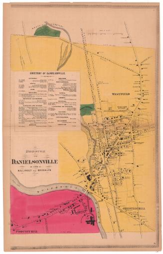
DescriptionMap of Danbury, Connecticut showing the central business district. Streets are identified and property lines, footprints of buildings, and owners' names are shown. Railroads include the Danbury and Norwalk Railroad and the New York and Northern Housatonic Railroad. The passenger depot, coal sheds, wood sheds, and other railroad buildings cluster along the railroad tracks. Bodies of water include White's Pond, North Meadow Brook, Blind Brook, and the Still River. Cemeteries, including Wooster Cemetery, are shown in green. Schools, churches, and parsonages are identified. A detailed "Business Advertising Directory" below the map lists hotels, banks, newspapers, insurance agents, attorneys, physicians, druggists, dentists, photographers, merchants, grocers, manufacturers, undertakers, nurserymen, livery stables, saloons, confectioners, carpenters and builders, masons, blacksmiths, and "miscellaneous." An arrow at upper right points north. The map is surrounded by a decorative border.
Object number1946.19.1
NotesCartographic Note: 1 inch equals twenty-five rods
Date Note: The map is undated. Checking the business names against those in Danbury city directories suggests a date in the mid-1890s.
On View
Not on view