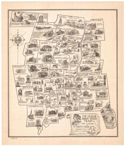
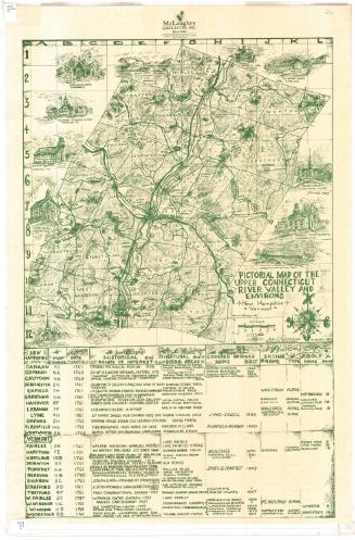
The League of Women Voters Map of the County of Hartford Connecticut
DraftsmanDrawn by
S. Jerome Hoxie
(American, 1895 - 1981)
PrinterPrinted by
Unknown
PublisherPublished by
League of Women Voters of Connecticut
(American, founded 1921)
Date1934
MediumLithography; printer's ink on wove paper
DimensionsPrimary Dimensions (image height x width): 17 3/4 x 15 1/4in. (45.1 x 38.7cm)
Sheet (height x width): 20 x 17in. (50.8 x 43.2cm)
ClassificationsGraphics
Credit LineGift of Horace B. Clark
Object number1937.38.1
DescriptionPictorial map of Hartford County, Connecticut, with the names of its towns, their dates of settlement and incorporation, and small drawings of notable landmarks or events. The cartouche, which is in the form of a scroll, includes the words "THE LEAGUE OF / WOMEN VOTERS / MAP OF / THE COUNTY / OF / HARTFORD / CONNECTICUT ' Drawings by S. Jerome Hoxie." Vignettes of the Charter Oak and the Connecticut State Seal are included in the cartouche. A compass rose is at the upper left.
Label TextThe Tricentennial of Connecticut's founding in 1636 inspired a number of historical maps during the 1930s. This map of Tolland County includes vignettes by S. Jerome Hoxie, an artist from Stonington, Connecticut, who also illustrated maps of Tolland County, Middlesex County and New London County, the county in which Stonington is located. All four maps were published by the League of Women Voters.
NotesCartographic Note: No scaleStatus
Not on view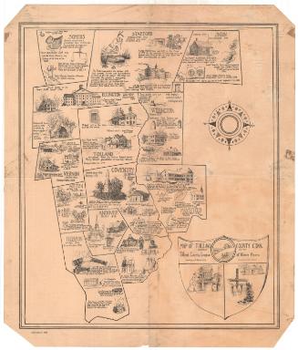

Lucius Stebbins & Co.
1859
League of Women Voters of Connecticut
