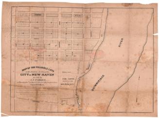
Map of Valuable Building Lots Situated on Main Street Continued
SurveyorSurveyed by
Unknown
DraftsmanDrawn by
Unknown
PrinterPrinted by
Unknown
Date1852
MediumLithography; black printer's ink on wove paper
DimensionsPrimary Dimensions (image height x width): 28 1/4 x 22 7/8in. (71.8 x 58.1cm)
Sheet (height x width): 39 3/8 x 25 3/4in. (100 x 65.4cm)
ClassificationsGraphics
Credit LineGift of Leslie T. Goodrich
Object number1946.18.0
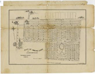
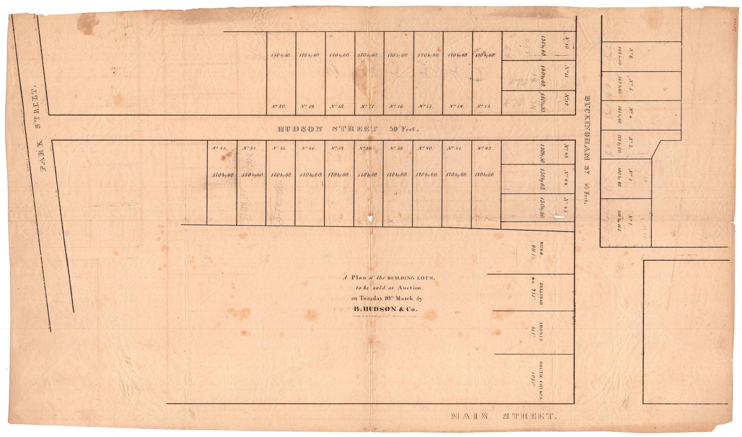
DescriptionMap of building lots in Hartford, Connecticut, along Front and Main Streets, with South Street running perpendicular. The lots are numbered from 1-56 and the lengths in feet are given. On lot 4 is "Never failing Water," and on lot 6 is a barn. The lots are bounded on one side by land belonging to the South Ecclesiastical Society and on the other by land belonging to Richard G. Drake.
Label TextThe auctioneer D. W. Seymour placed an advertisement in the Hartford Daily Courant claiming that these lots in the South End of Hartford were "some of the most beautiful building lots to be found in this town, commanding as they do a magnificent view of the valley of the Connecticut and its surrounding hills and at the same time within ten minutes walk of the center of the city." The name "Col. Colt" scrawled on the back of the map may be a clue to one potential purchaser of this property. In 1852, Samuel Colt was beginning to buy up land in the South End of Hartford where, beginning in 1855, he would build his firearms factory, associated workers' housing, and his own mansion, Armsmear.
NotesCartographic Note: No scaleConstituent Note: The map was probably printed by either E.B. & E.C. Kellogg or by Case & Green, the two major lithography firms active in Hartford in the early 1850s.
Status
Not on view

D. W. Kellogg & Co.
1830-1840