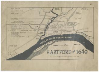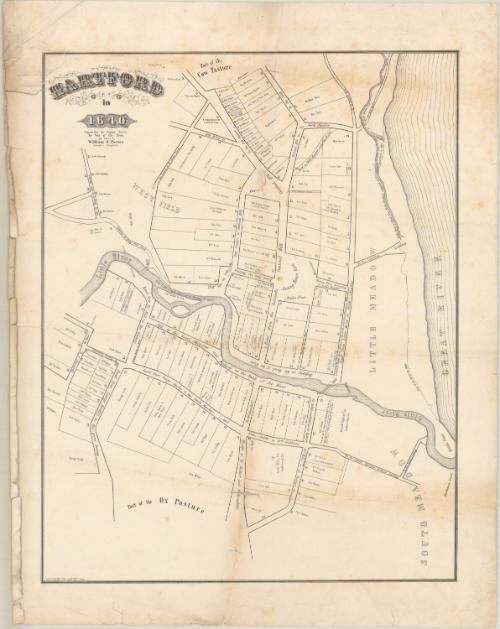
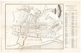
Hartford in 1640
DraftsmanDrawn by
William S. Porter
(American, about 1800 - 1866)
PrinterPrinted by
Case & Green
(American, 1849 - 1852)
Dateprobably 1851
MediumLithography; black printer's ink on wove paper
DimensionsPrimary Dimensions (image height x width): 20 3/8 x 16in. (51.8 x 40.6cm)
Sheet (height x width): 24 x 19in. (61 x 48.3cm)
Sheet (height x width): 24 x 19in. (61 x 48.3cm)
ClassificationsGraphics
Credit LineGift of Betty Adams
DescriptionMap of Hartford, Connecticut, as it appeared in 1640, with a cow pasture to the north, the Great (Connecticut) River to the east, the South Meadow to the south, and the West Field to the west. Roads are lined with land lots which are labeled with the owner's name. Small squares representing buildings are shown at the edges of the lots.
Object number1975.33.0
NotesCartographic Note: No scale
On View
Not on view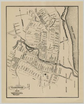
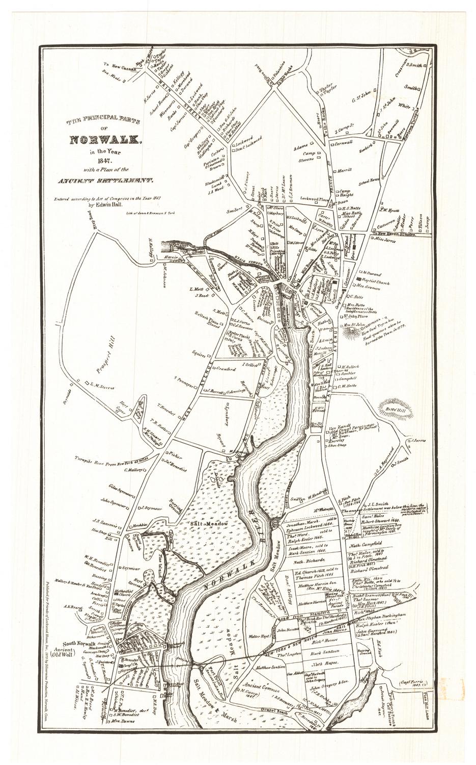
Silvermine Production
1973